Backpacking Coyote Gulch, Escalante, Utah

Coyote Gulch is one of if not the most beautiful backpacking trips I have ever done. It’s certainly my favorite desert backpacking trip to date. Mike and I had been traveling around Utah in our new van, and I was looking to get a few days of backpacking in. At the suggestion of a friend, we headed to Escalante to do this trip. Normally I don’t get into the details of getting to a trailhead, but this trip is an exception. It was one of the worst drives I’ve ever done. From Escalante, it’s about 34 miles on a road that is all washboards. 34 miles of washboards each way. It doesn’t sound bad until you’ve actually done it, but that’s about 1.5 hours of hitting never ending washboards in a car. Plan to get your car’s alignment checked after driving to this trailhead.
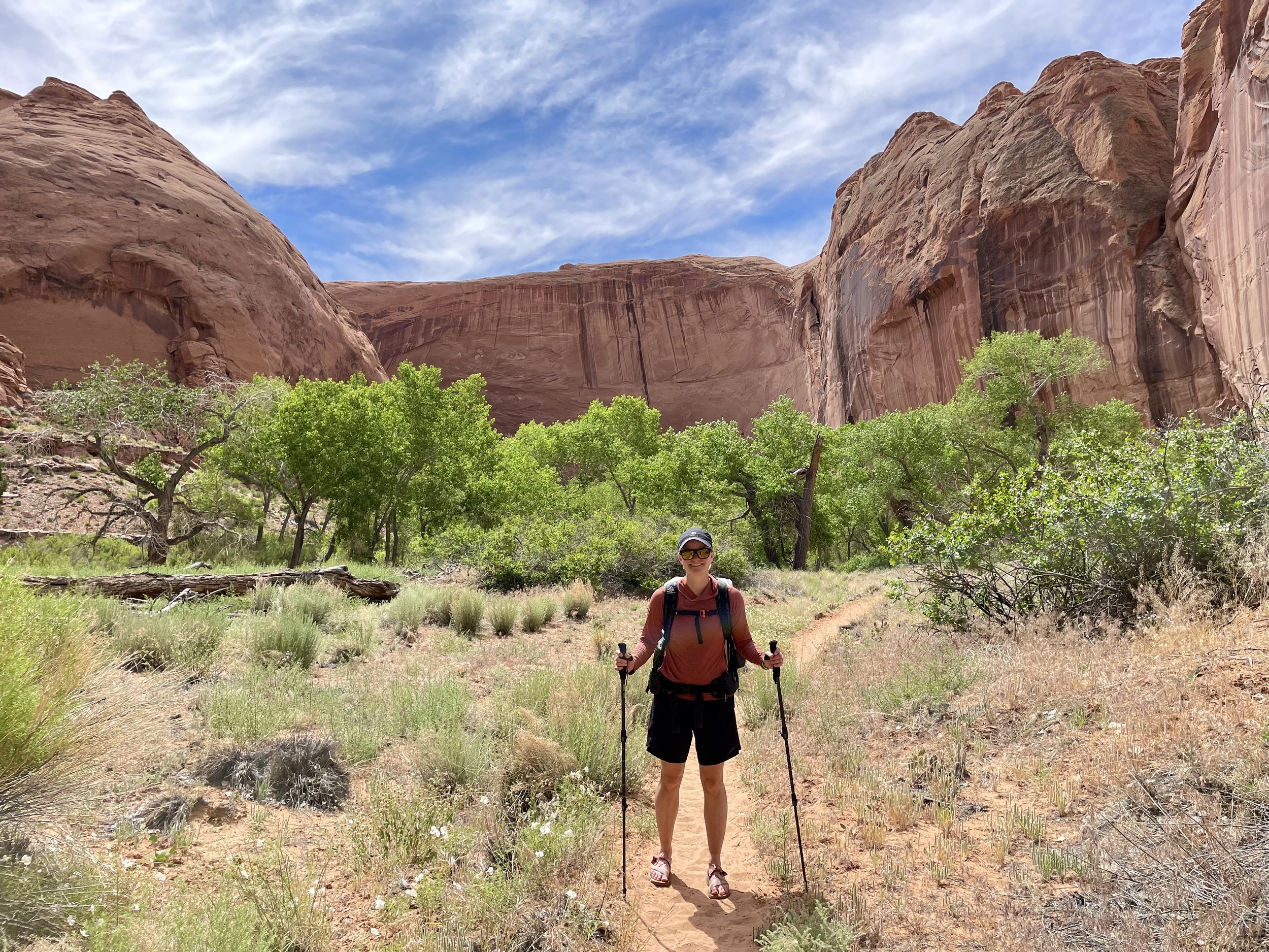
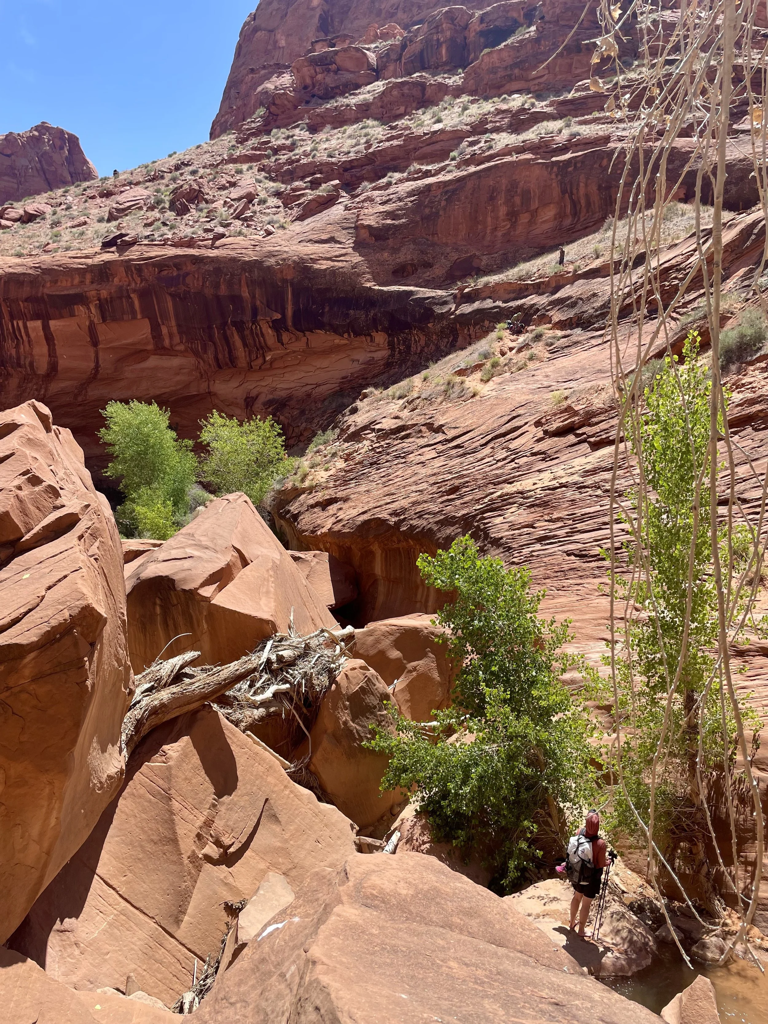
Once we got to the trailhead, it was much smoother sailing. We left from the Hurricane Wash trailhead. The first 4 miles from this trailhead are pretty, but nothing to write home about. It’s not really until you get down into Coyote Gulch that you understand why this backpacking trip is so popular. As we approached Coyote Gulch, the red walls around us started getting bigger, but it wasn’t until you hit the intersection with Coyote Gulch that you understood how big the canyon was going to be that you were about to spend the next few days in.
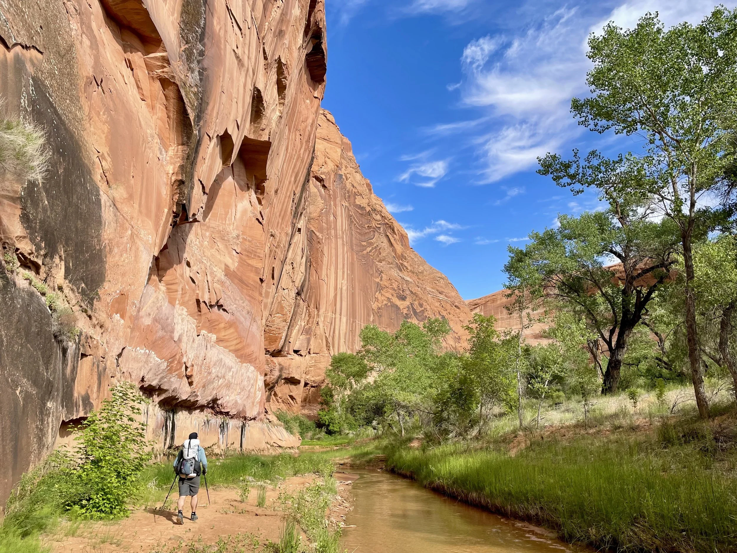
We turned right at the intersection with Coyote Gulch and started following the river downstream. Meandering is the word I’d use to describe the river. The river would turn every 0.1-0.25 miles, which would require a stream crossing at each bend. I recommend bringing shoes that you are comfortable hiking in when they are wet. I made the mistake of bringing some new Chacos that gave me the worst blisters the first day which forced me to wear my trail runners the other two days.
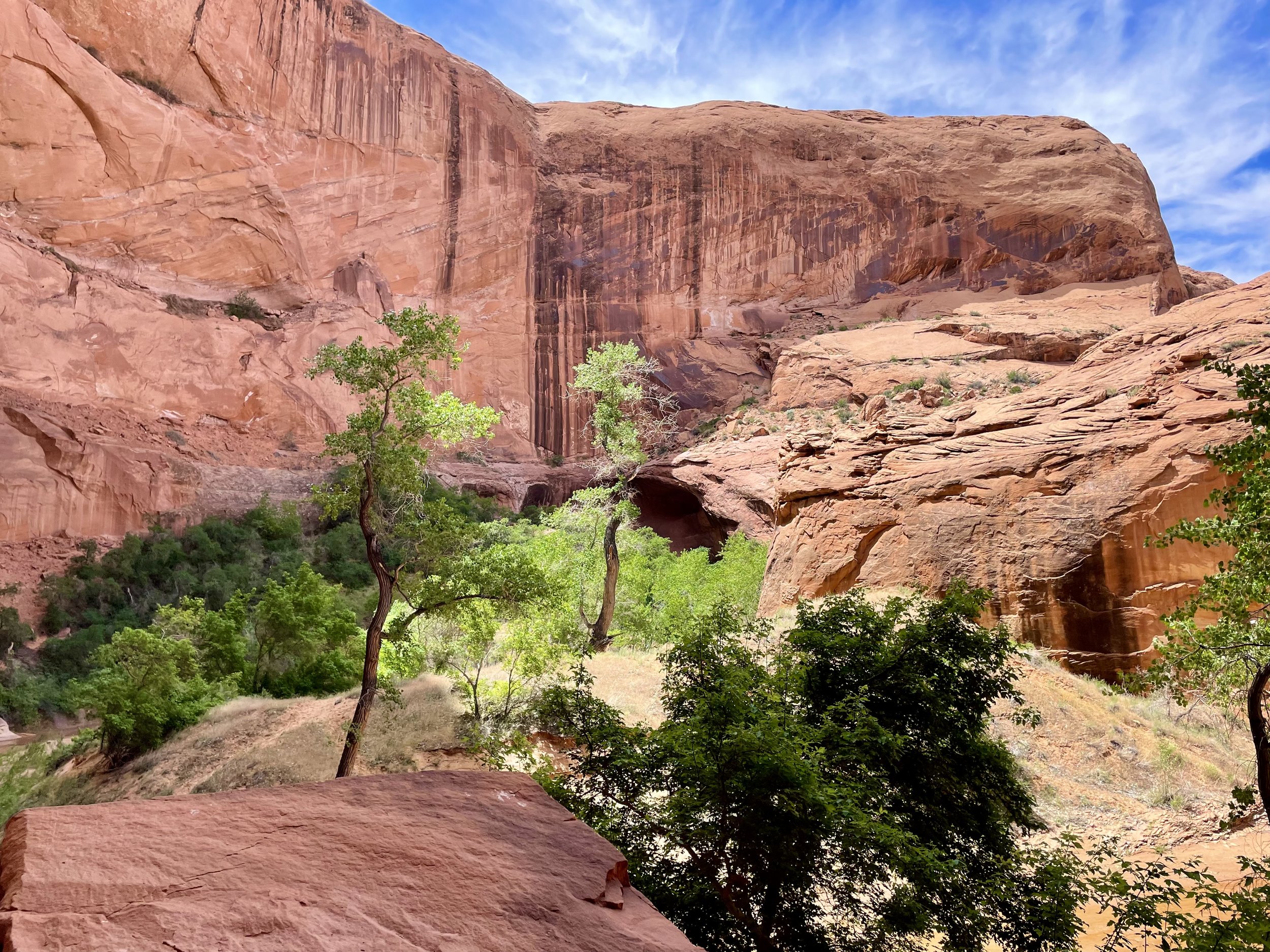
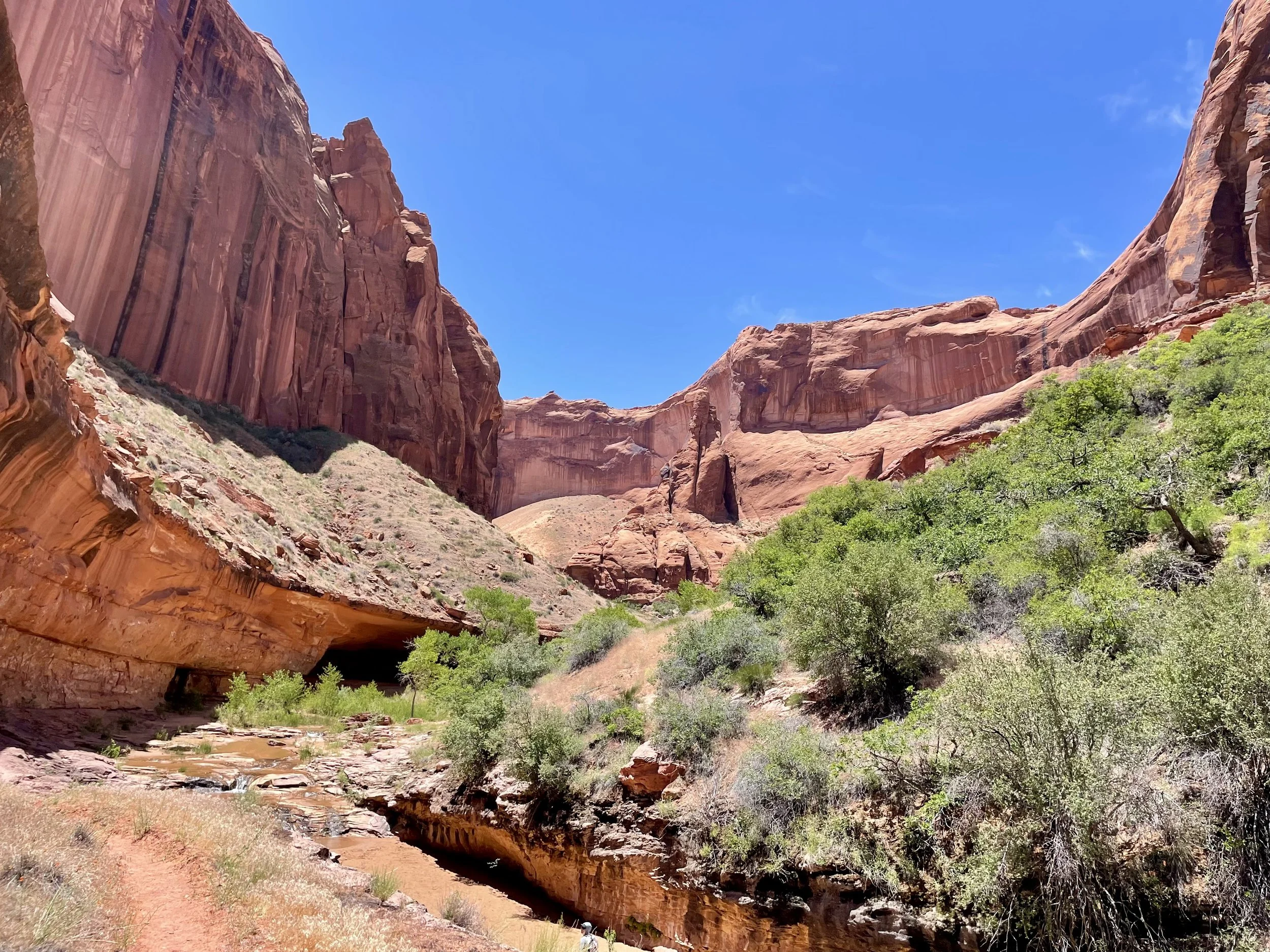
The first major arch we ran into was the Jacob Hamlin Arch. We could tell this was a very popular place to camp so we decided to camp farther downstream. After a few more river bends, we decided to camp near Swiss Cheese Falls. It was a beautiful spot with beautiful views of the canyon walls and some faster moving water right in front of our campsite that was nice to hang out by. We set up camp with the plan to spend the next two nights at that site.
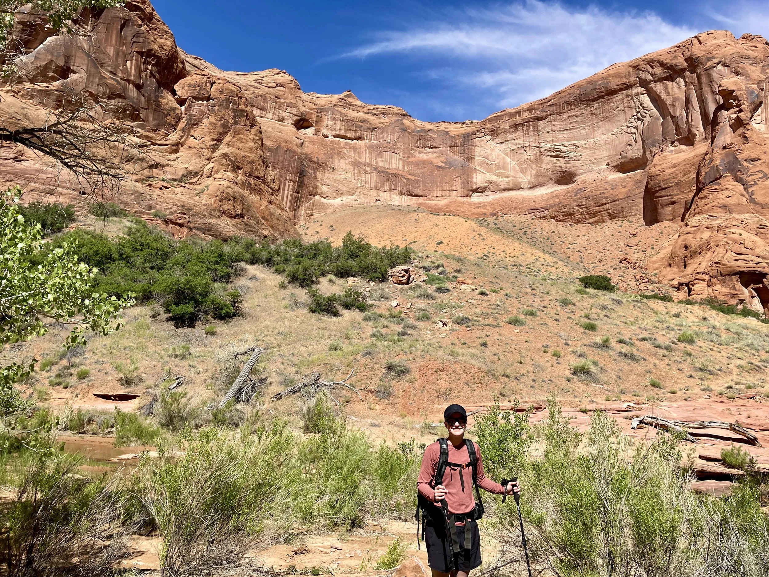
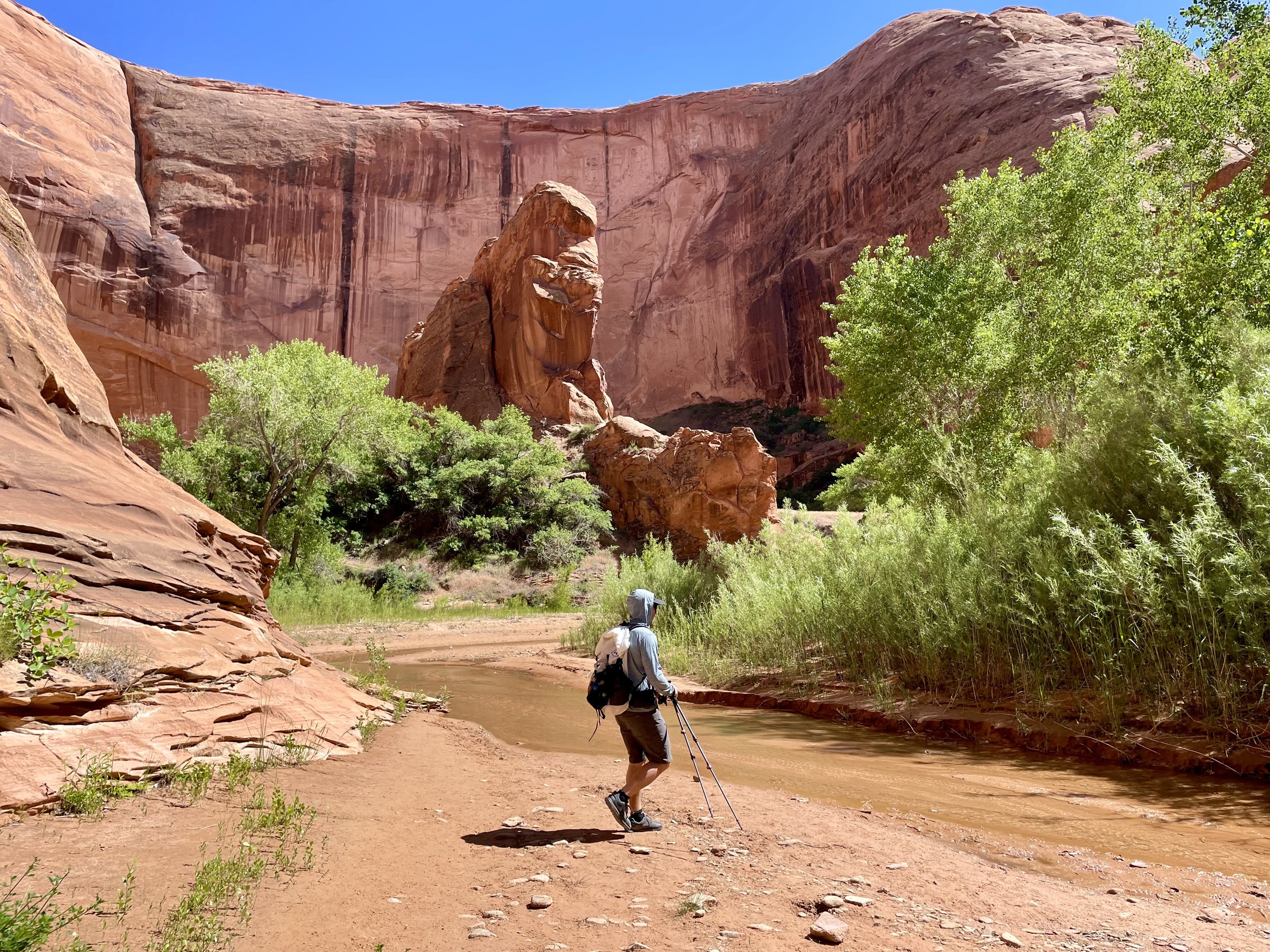
The following morning we set out on a day hike to continue hiking downstream until we wanted to turn around. This was my favorite day of the three days we spent in the canyon. As we continued downstream, the canyon walls kept getting higher and higher. We found ourselves having those moments where you realize how small we really are. We passed several more arches, my favorite of which was Cliff Arch. We continued several more miles downstream from this arch before we turned around. It was such a beautiful day but it was quite hot - in the 90s. I wanted to make it to the confluence of the Escalante River but the heat and our energy levels dictated that we didn’t. Along the way we found a natural spring that we filtered water from. Standing under the spring while collecting water was welcome on that hot day as the spring water was probably in the 40s. I’ll let the pictures do the rest of the talking for that day.
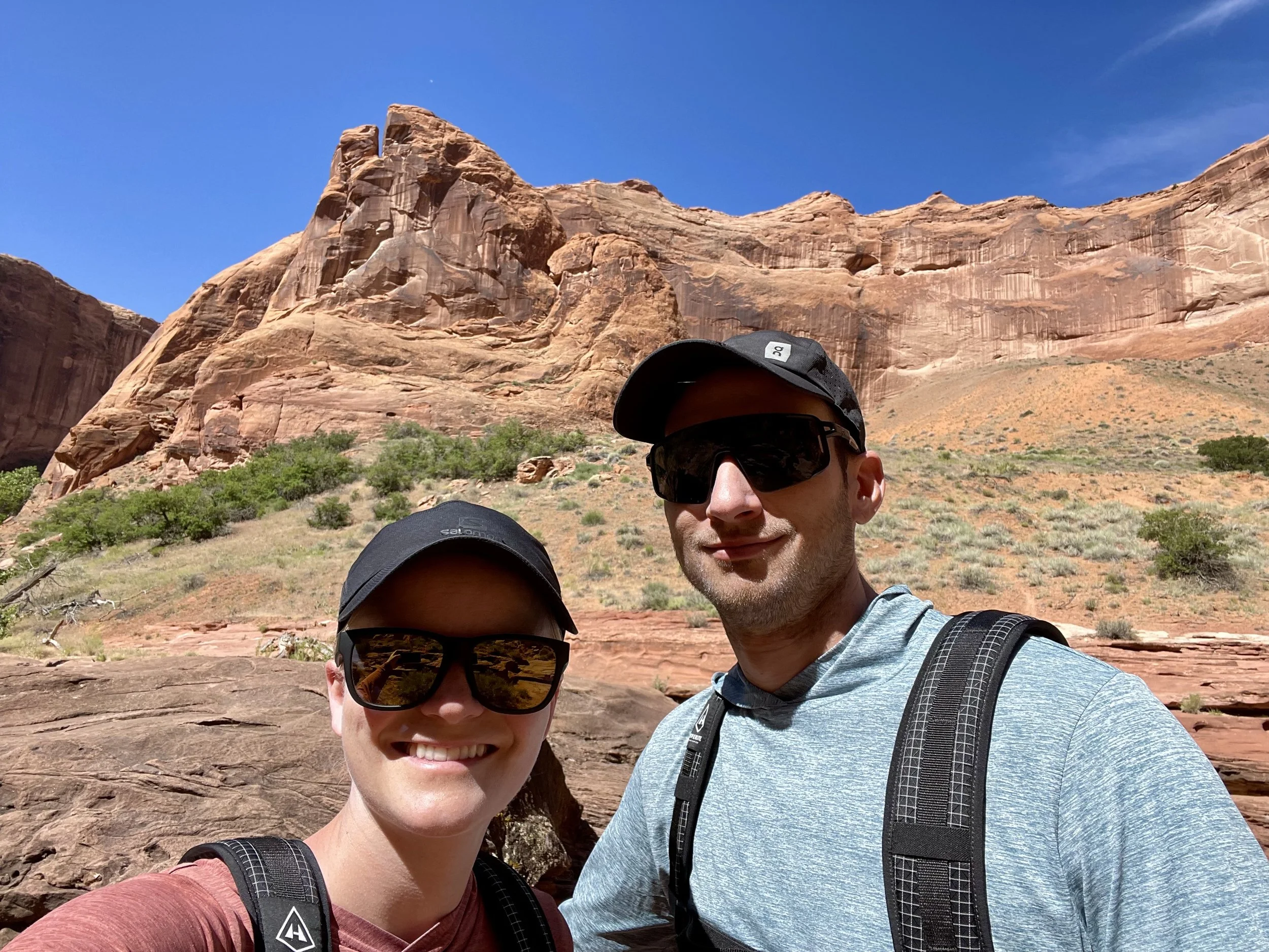
On our third morning, we packed up our campsite and headed back out the same way we came in on the first day. We had an amazing time on this trip, and I look forward to future trips in the Escalante area.
Total Stats: 30 miles, 2650 vert. Day 1: 9.3 miles, 775 vert | Day 2: 11.2 miles, 600 vert | Day 3: 9.3 miles, 1275 vert