Grand Central Couloir, Sayres Benchmark, Twin Lakes, Colorado
I found myself flipping through some backcountry skiing guidebooks, and the Grand Central Couloir on Sayres Benchmark really stuck out to me. I knew it was the line we should try to ski the following day. I showed the idea to Mike, and he was very quickly on board. We packed up our touring backpacks and headed to bed early that night since we were going to have an early morning.
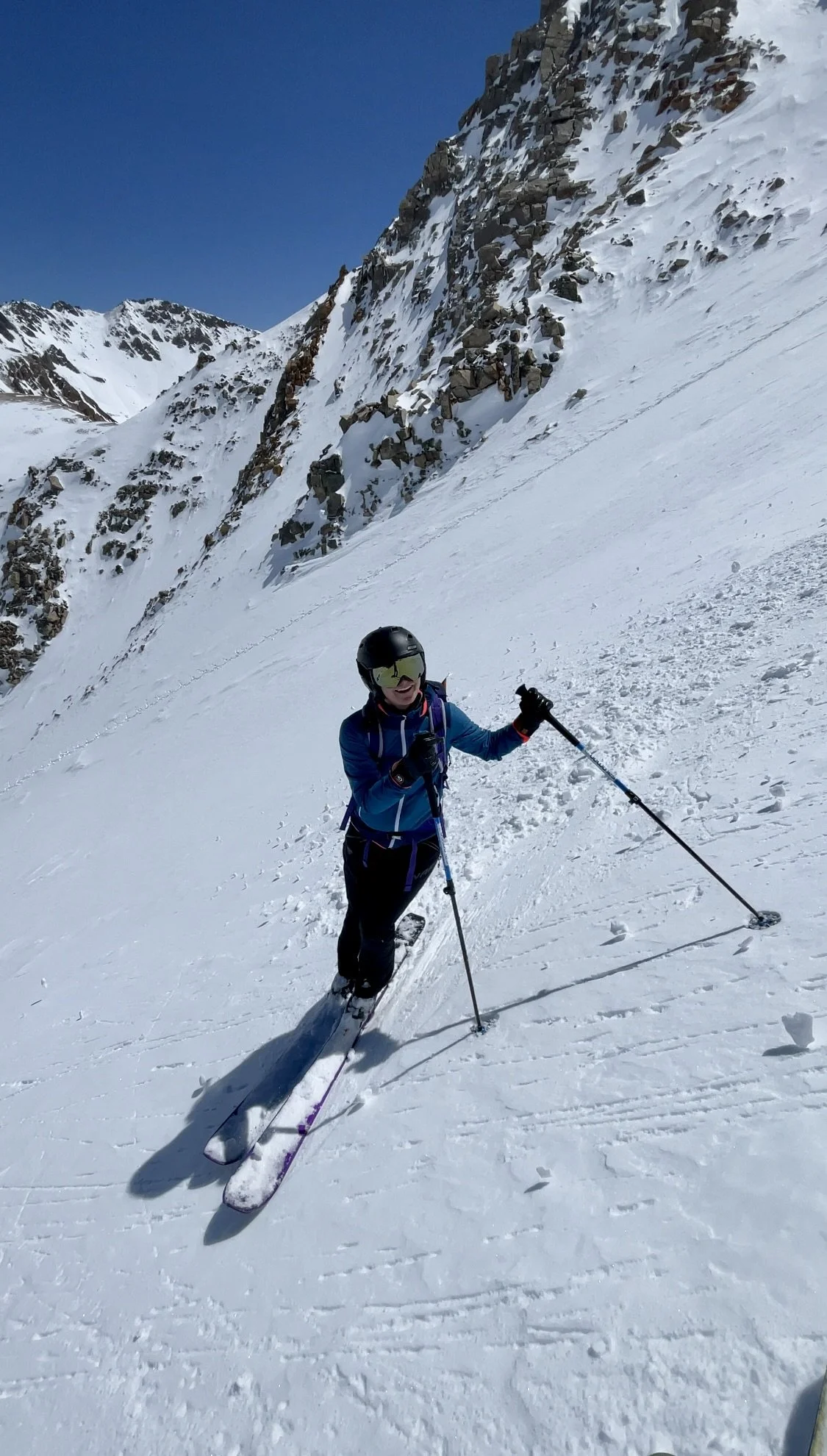
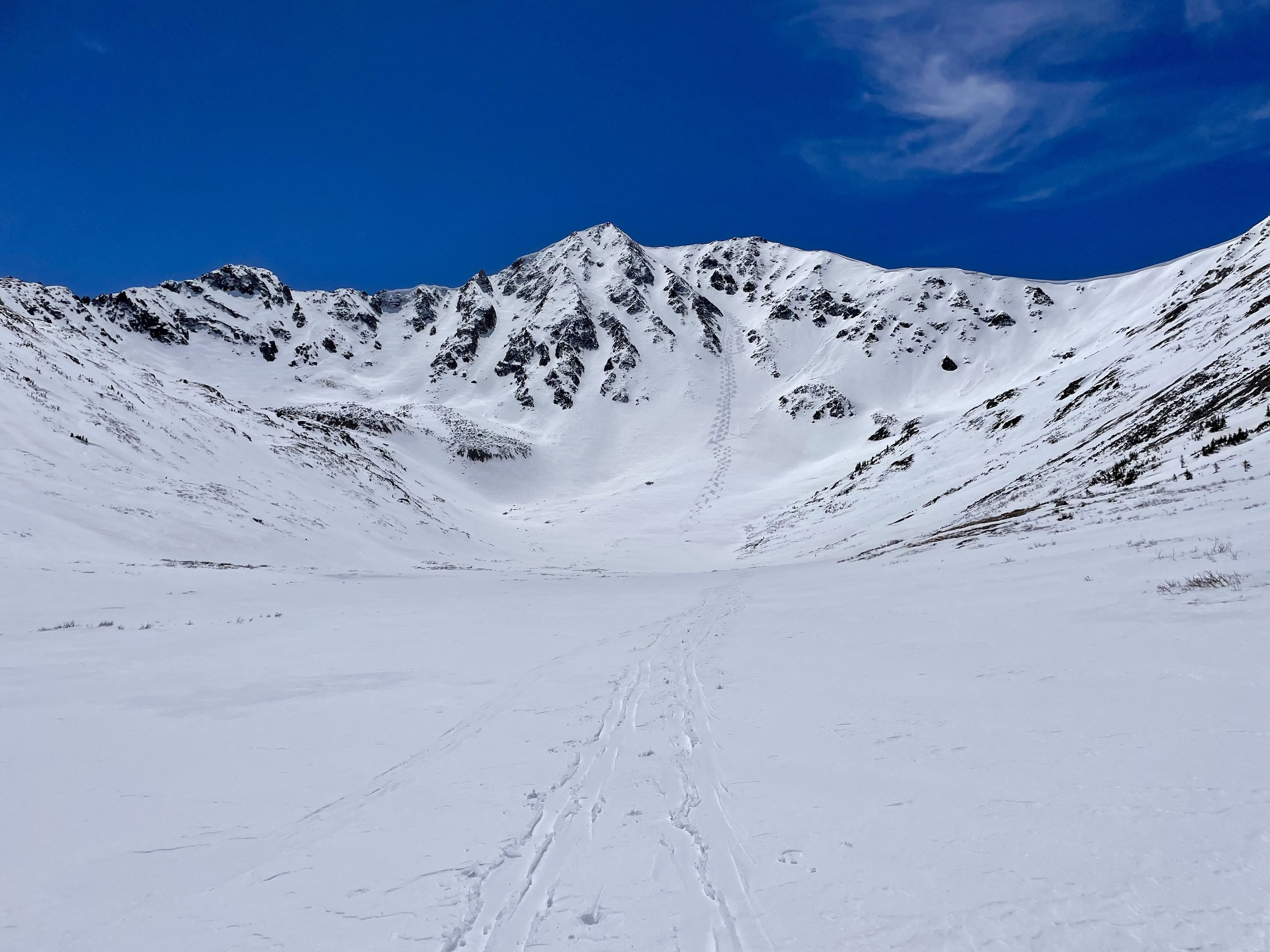
After a 3:45 am alarm, we were parked at the La Plata Trailhead at 5:45 am. We set out on skis from the trailhead and roughly followed the summer trail for the first 1.75 miles. The snow had refrozen overnight so we didn’t have many issues on the ascent, but my least favorite part of the ascent was from mile 1.1-1.75 where the terrain was fairly steep and the snow felt pretty rotten and had some trapdoors waiting for us. Once we got past this part, it started to flatten out, and we crossed the creek on a snow bridge, which took us off the summer trail. We followed the creek up to the base of the couloir with pretty views of La Plata Peak to our left the entire time. A little over 4.5 miles into our tour, the couloir started getting a little steeper so we decided to transition to ski boots and crampons. There were no signs of an old bootpack so Mike volunteered to put one in to the top. 1200 vertical feet later and we were at the top. Wow, it was a pretty spot up there, with views of countless other lines that I now want to ski. We had a discussion about if we wanted to ski X-Rated couloir instead, but the snow in Grand Central looked better than X-Rated and felt good on the way up so we decided to stick with Grand Central.
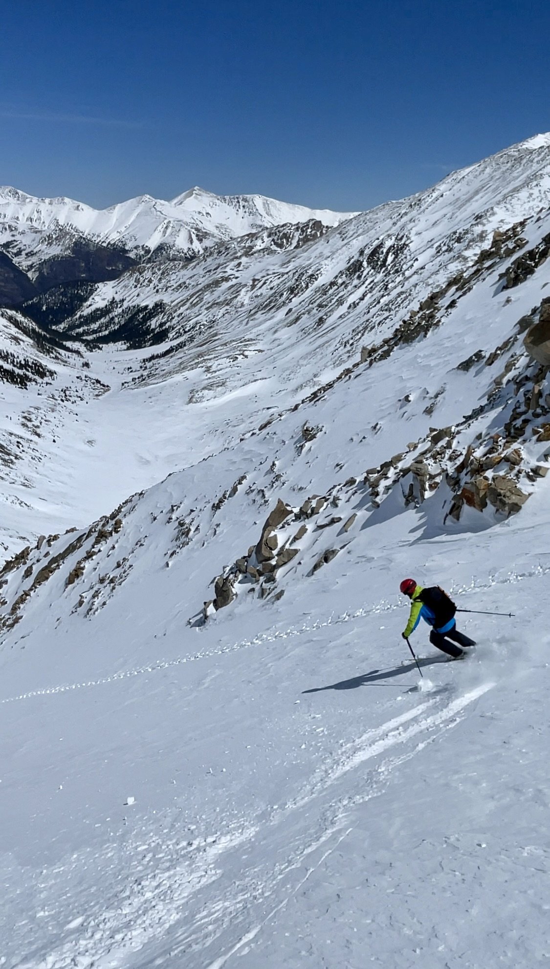
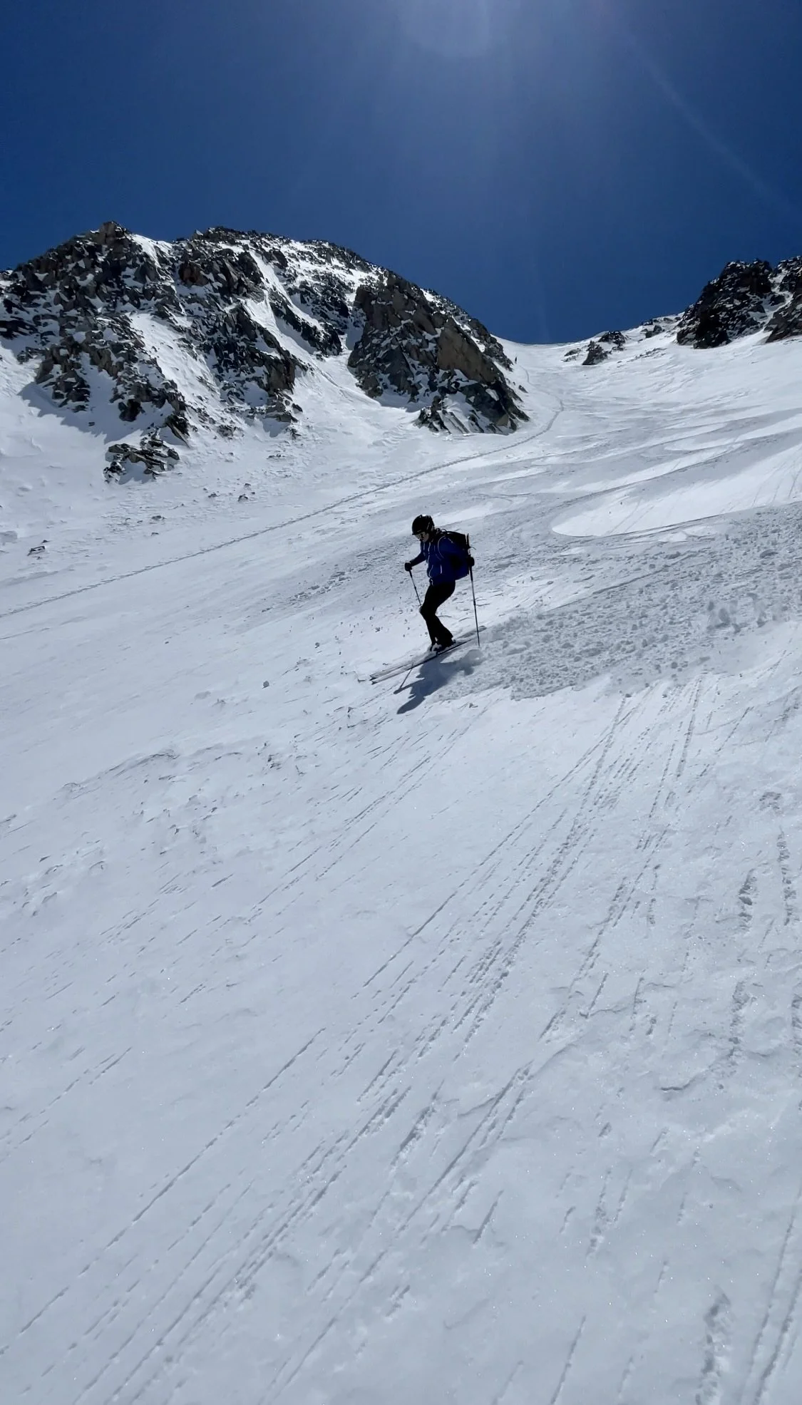
After transitioning, we started our descent. Mike headed in to the couloir first and skied about halfway down to a safe spot to stop and wait for me to ski. When it was my turn, I was pleasantly surprised by how wintery the snow still felt and really enjoyed the turns I got. After regrouping, the bottom half of the couloir was closer to corn snow, and we enjoyed the corn all the way down to the bottom. This couloir is one of my favorite backcountry runs to date.


We decided it was time to head back to the car so we started our exit along the flattish drainage to get back to the summer trail. We found a few trapdoors in this area, but it really was just a lot of poling as the pitch wasn’t steep enough to sustain the speed we would have liked. Once we crossed the creek and got back on the summer trail, this is where things got interesting. The snow was totally rotten. More often than not, we found ourselves falling a foot down through the snow, which would stop us dead in our tracks. Our backs and hamstrings didn’t enjoy this part. This part also involved quite a bit of steep side-hilling on horrible snow. Between the crust and trapdoors, it wasn’t possible to make normal turns. So we found ourselves side stepping and sliding down quite a bit. We quickly found ourselves sweating, and I believe I may have exerted more energy on the way out from this line than I did earlier that morning on the way up. It ended up taking us 2.5 hours to get down from the bottom of the couloir (I think it would have taken us less than 30 mins in mid-winter snow). We finally made it back to the car, much more exhausted than expected and out of water. It sure felt nice to sit down and take our boots off.
When I reflect back on the exit from this day, I wonder if we should have waited for the first 1-2 miles of summer trail to melt out so that we could hike that part of the day in normal shoes. The downside of this approach would be that the snow in the couloir would probably be worse than it was on this day because it would be much later in the spring. So I’m torn between recommending this route in early vs late spring. I guess I can go back to ski X-Rated later in the spring and give my final recommendation then!
Even with the miserable exit, this was one of my favorite days in the mountains this year. The couloir is a great ski and the views for most of the day are beautiful. I can’t wait to come back to this drainage.
Total stats: 10.2 miles, 3630 ft of elevation gain