Mount Sherman, Mount Sheridan, Horseshoe Mountain, Gemini Peak, and Peerless Mountain Hike, Mosquito Range, Fairplay, Colorado

Looking at the ridge line traverse I did from the top of Horseshoe Mountain
It was forecast to be a beautiful September day with no chance of rain so I decided to do a hike that would take advantage of the great weather by doing an above tree line hike with a plan to summit a fourteener and 4 thirteeners in a day. Despite, the great weather forecast, I still got an early start in case the weather forecast was wrong. I parked at the popular trailhead used for Mount Sherman off of County Road 18 in Fairplay. When I got to the trailhead, there were about 15 other cars already parked, and I could see people hiking up the dirt road that leads to Mount Sherman.
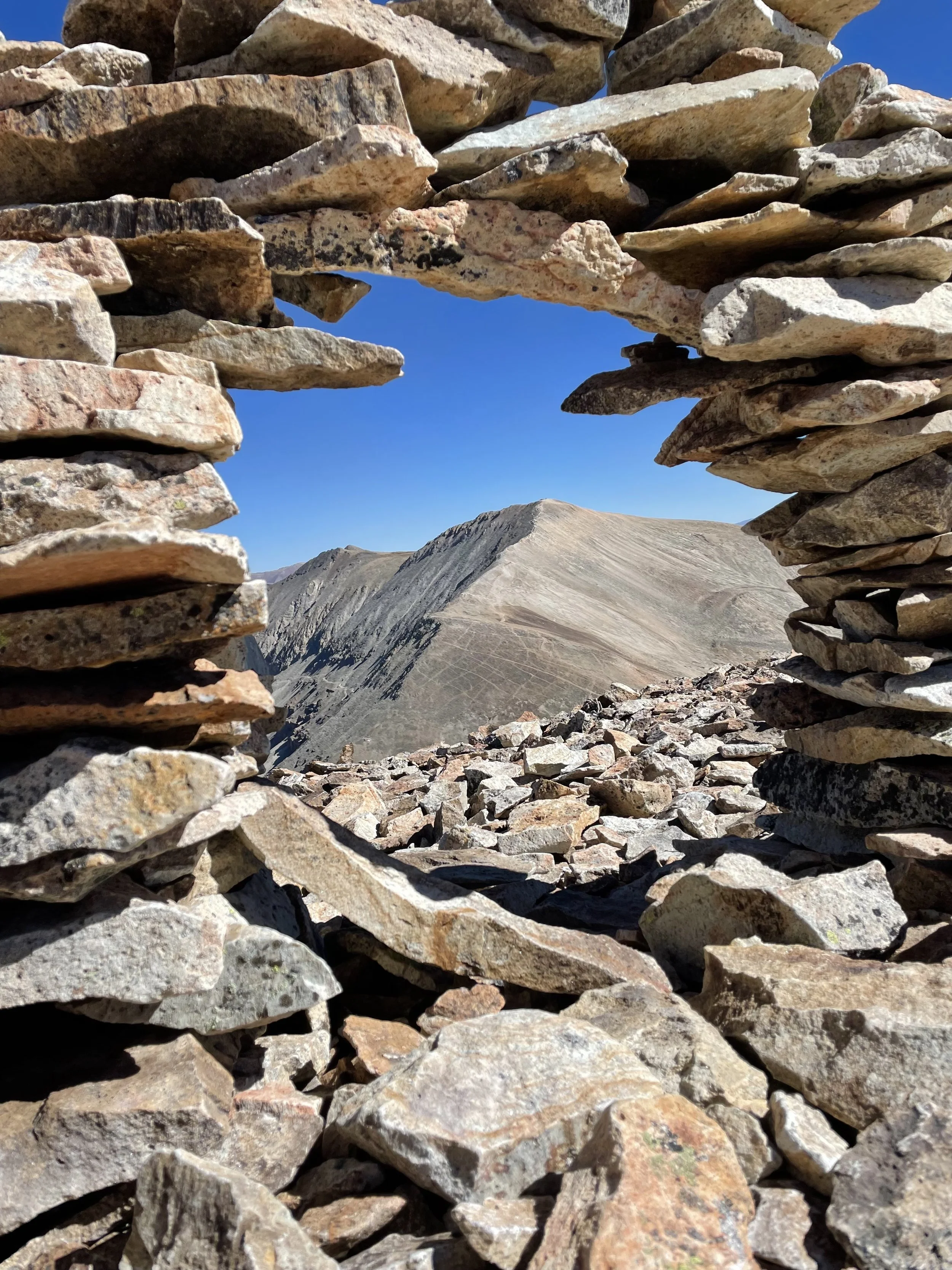
I took this road for less than half a mile to start but then left the crowd and cut onto another dirt road that would take me towards Horseshoe Mountain. I did end up doing a little off trail hiking, but then found a trail that started at the saddle between Peerless Mountain and Horseshoe Mountain that I took up to the top of Horseshoe. On Horseshoe, I only saw one other individual, a man with a very small overnight pack - I wonder if he was doing the Mosquito/Tenmile Traverse. He was far enough away that I didn’t get the chance to ask. At the top of Horseshoe there was also a little hut that looked like it could have been an old mining cabin. There were a ton of old mines and holes from the mines that I passed on my way up to Horseshoe from the car. I made it to the top of Horseshoe pretty easily, it was a Class 1 hike to the top in my opinion.
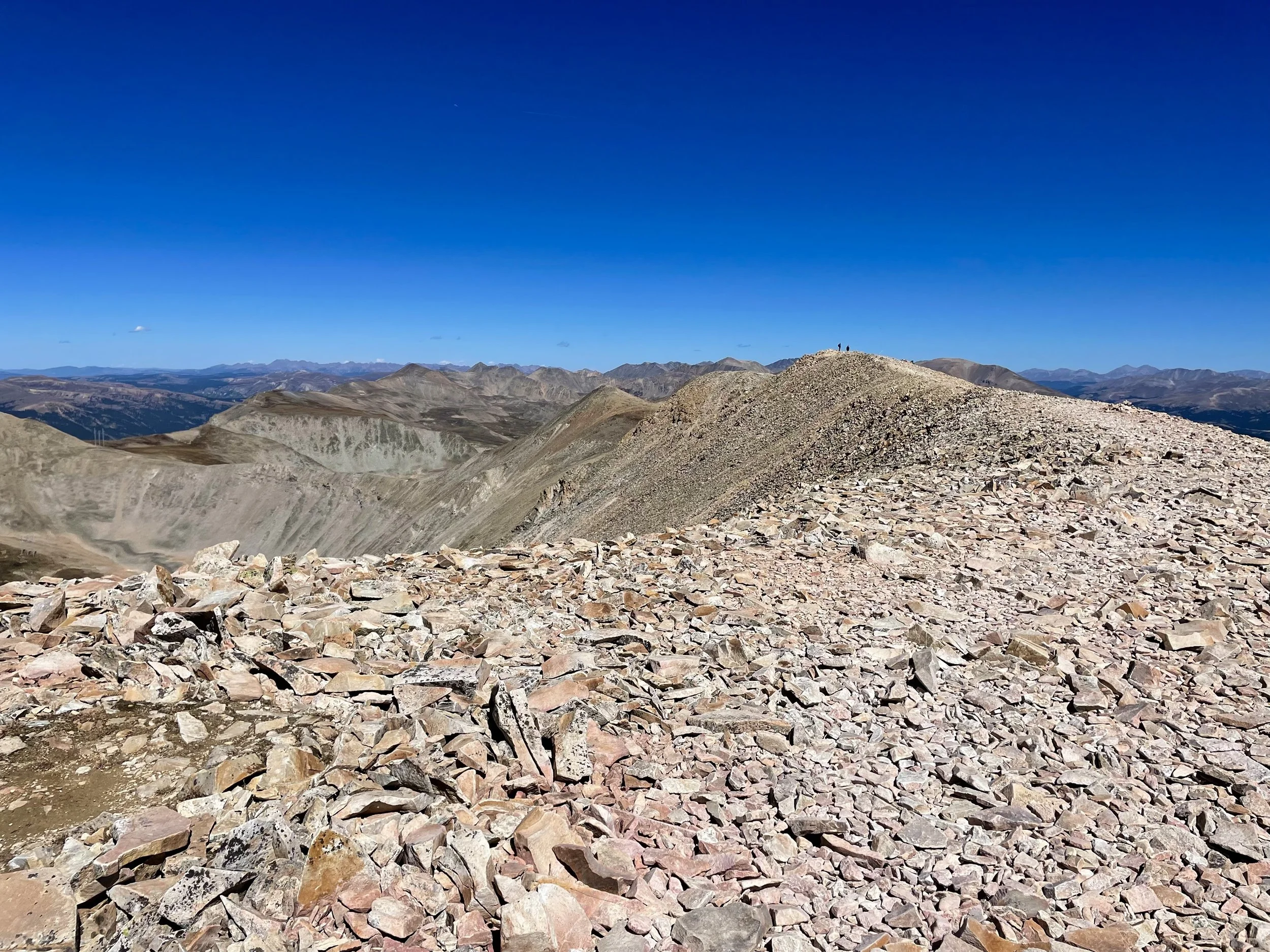
Because the wind was blowing pretty hard at the top, I kept moving and reversed course back down the way I came and headed over to Peerless Mountain. This mountain was much lower than the other 4 mountains I would summit that day, but it is still a 13er so I went up and over it on a pretty well defined trail and quickly headed towards Sheridan. Sheridan also had a very faint path although it wasn’t that defined in places, but it was pretty clear where to go: up. So up I went. At the top there is a very large human-made windbreak that could almost be used as a shelter if needed. It was a perfect spot for a snack break. I also spent a few minutes taking in the views towards the Sawatch range with views of Mt. Massive, Elbert, La Plata, and several other 14ers over in the Twin Lakes area. The views were beautiful in every direction.
Up next was heading over to the 14er of the day: Mount Sherman. I could see quite a few people on it going both directions and knew I was about to hit the busiest part of my hike. Up until that point in the day, I still had only come across that one backpacker on the trail. Saying goodbye to the last of my solitude, I headed down Sheridan and started up Mount Sherman. The hike up Sherman was very straightforward with a well-defined path up the ridge.
At the top of Sherman, I had great views of Dyer Mountain. Mike and I have skied part of Dyer Mountain, but didn’t make it to the top because we were both having some form of foot pain that day from our boots and decided to come back another time. So it’s been on my to do list to go back with boots that are broken in to ski the mountain. I thought about continuing along the ridge to summit Dyer as well during this hike, but I didn’t have much water left so I decided that I would just summit one more peak, Gemini, and save Dyer for next spring on skis. The hike over to Gemini was very easy with the most difficult part being the last 50 vertical feet. There was no trail to the top of Gemini so it was a “choose your own adventure situation,” and it seems the route I chose involved a lot of rocks that moved when I stepped on them so it slowed me down a bit. There was no on else at the top of Gemini, and I stopped for my last snack break of the day to take in the views looking north in the Mosquito Range. After my break, I headed back up to the top of Sherman and took the popular trail back down to the trailhead.
Overall, I really enjoyed this hike. Much of my day was spent without others around, but I still got to check a 14er off my list. My favorite peak of the day was probably Horseshoe Mountain because it offered the most solitude. The views towards the Sawatch Range were breathtaking from every peak. The hike ended up being 10.5 miles with 3800 vert according to Gaia, although my Garmin watch said the total vert was 4500 ft. It honestly felt more like 4500 ft so I might say Garmin was right this time. If you’re looking for a strenuous hike on a day where the weather is looking perfect, I think this hike makes for a great candidate.