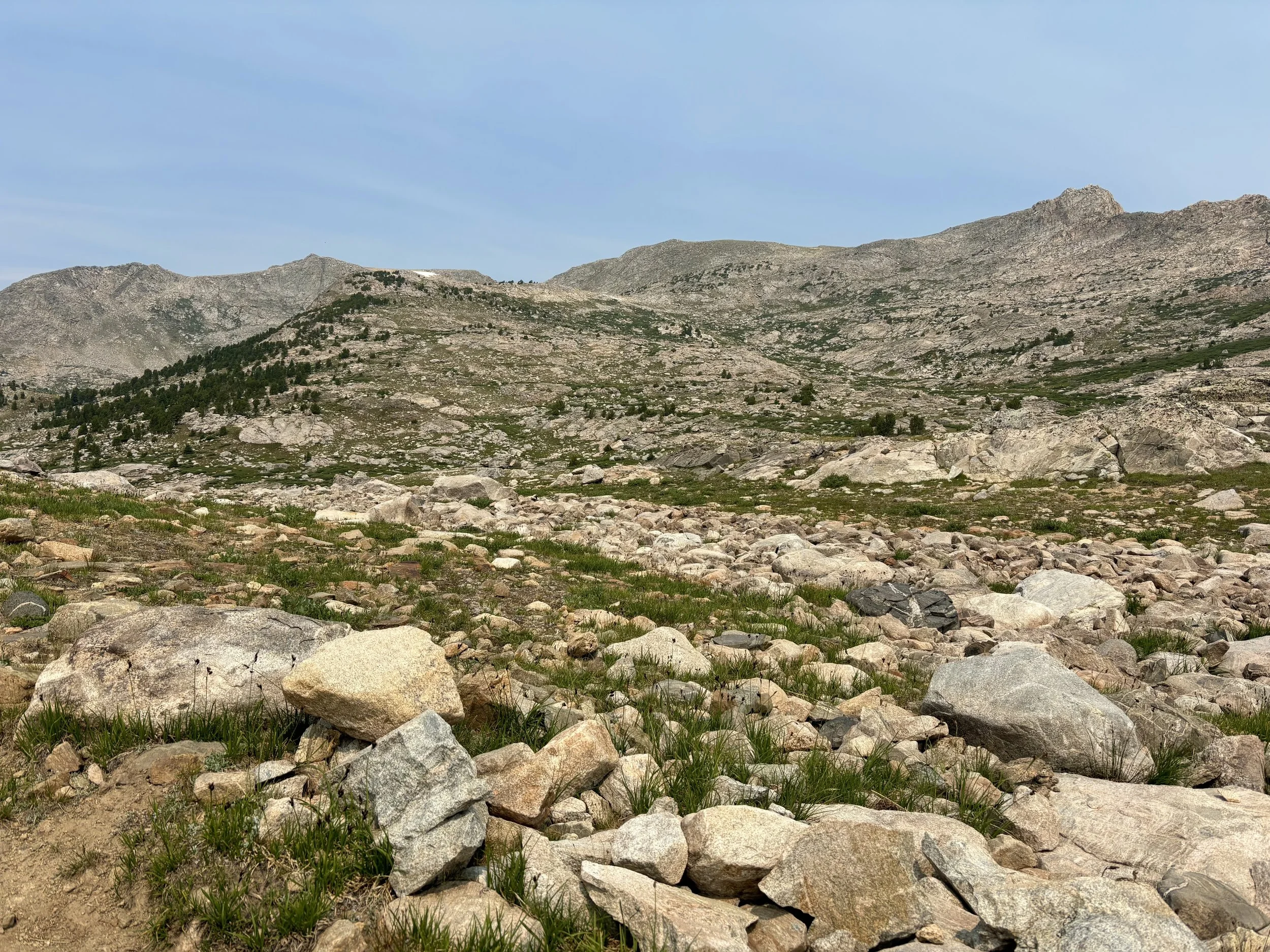
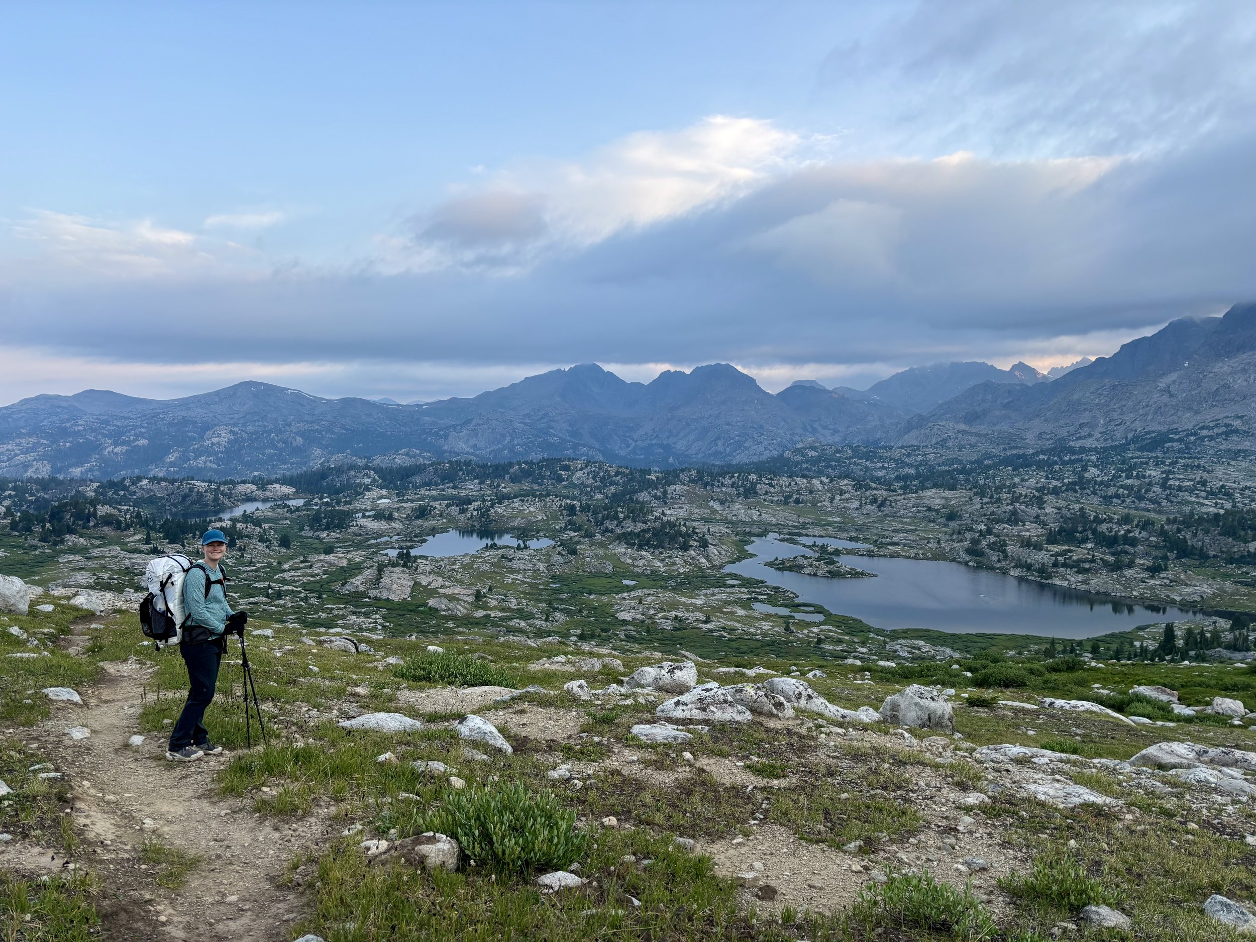
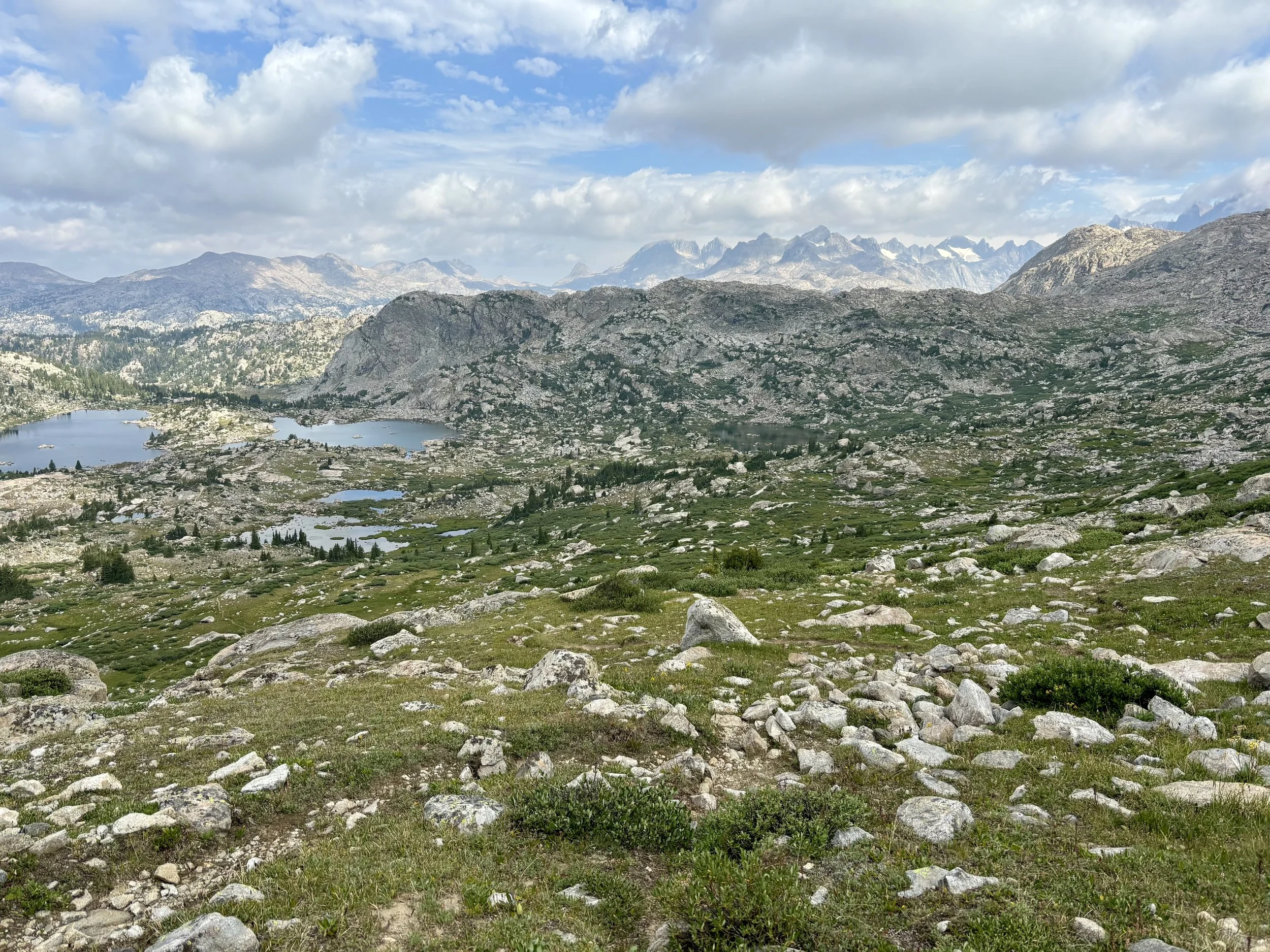
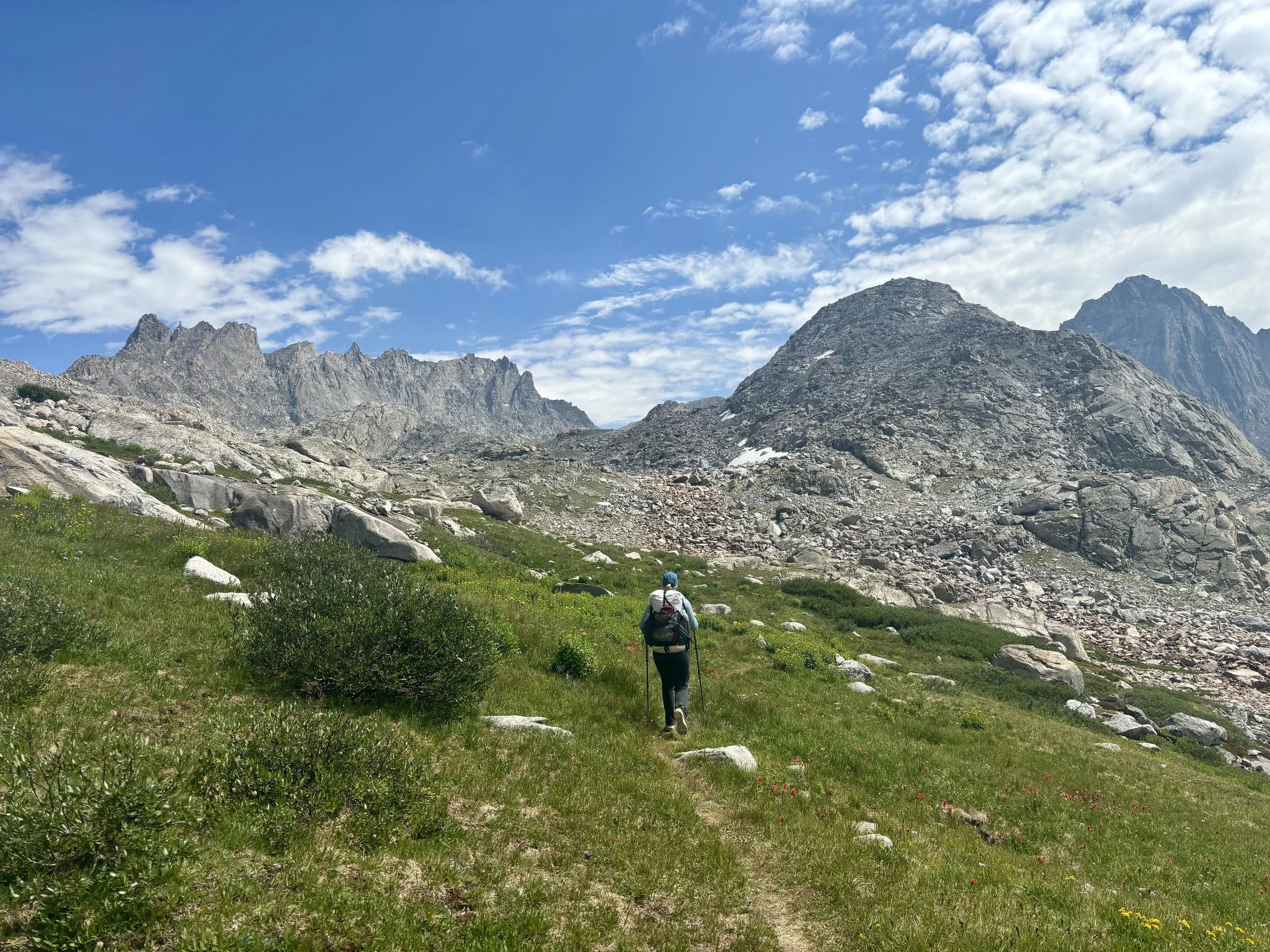
Wind River High Route Attempt, Pinedale, Wyoming
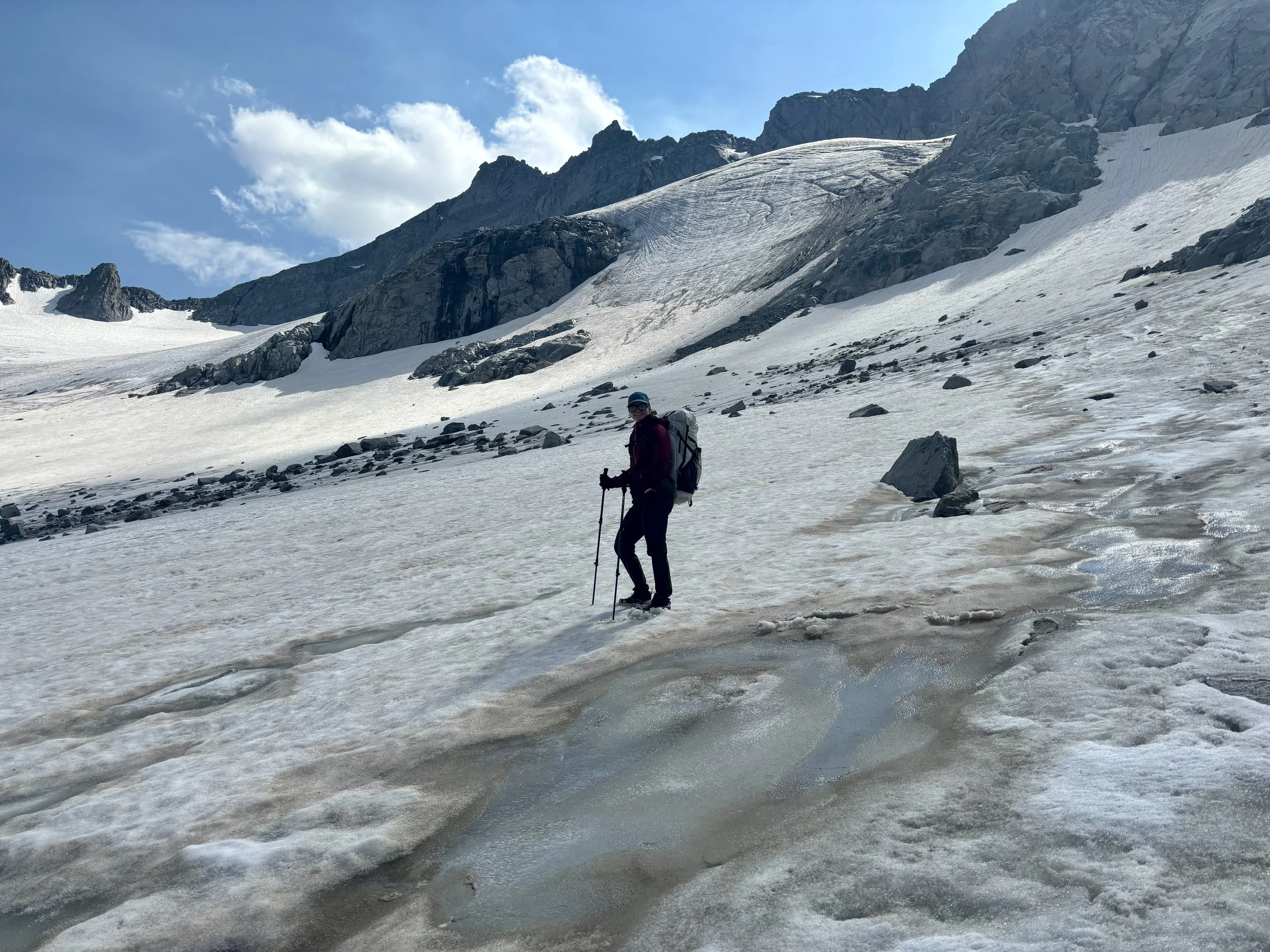
Krista on Knife Point Glacier
Mike and I were looking for a backpacking trip that would really challenge us and decided that the Andrew Skurka’s Wind River High Route (WRHR) fit the bill. Skurka’s WRHR is a 97 mile route with 28,000 feet of elevation gain that traverses the Wind River Range from south to north, with 65 of those miles being off trail. The route travels through some very remote parts of the range and navigation and even the walking itself can be difficult. We knew it would be a challenge and believed we’d be able to do it in 8 days.
Day 1
We parked our van at the Trail Lake Trailhead in Dubois early in the morning on our first day. We were picked up at 8am by a shuttle company that drove us 90 miles to Bruce’s Bridge Trailhead in Lander. We got dropped off there mid-morning realizing we sure had a long way to go to get back to our vehicle. With no time to waste, we started our adventure. We went in to our first day with a plan to alter Skurka’s itinerary and skip Wind River Peak and the associated down climb that comes with it to get down to the Black Joe Lake basin. The reports of how long it took people to do this down climb plus having to do it with a backpack full of 7 days of food made us decide that we’d come back another time to see that part of the range. So we would head directly towards the Cirque of the Towers instead. We hiked along the Middle Fork Trail for a good chunk of the day until we split off onto the Pinto Park Trail. Both of these trails were mostly in trees and were some of the least interesting miles of the trip. We made it to the intersection with the North Fork Trail that afternoon and decided to start looking for a camp. We ran into some USFS rangers that were dismantling some illegal campsites and campfire rings. They reminded us of the camping regulations for that area, and we made sure to find a campsite that was several hundred feet from both the trail and the stream. We were pretty tired from a long day in the sun with heavy packs and had an early bedtime that night.
Day 1 Stats: 16.5 miles, 3280 ft of elevation gain.
Day 2
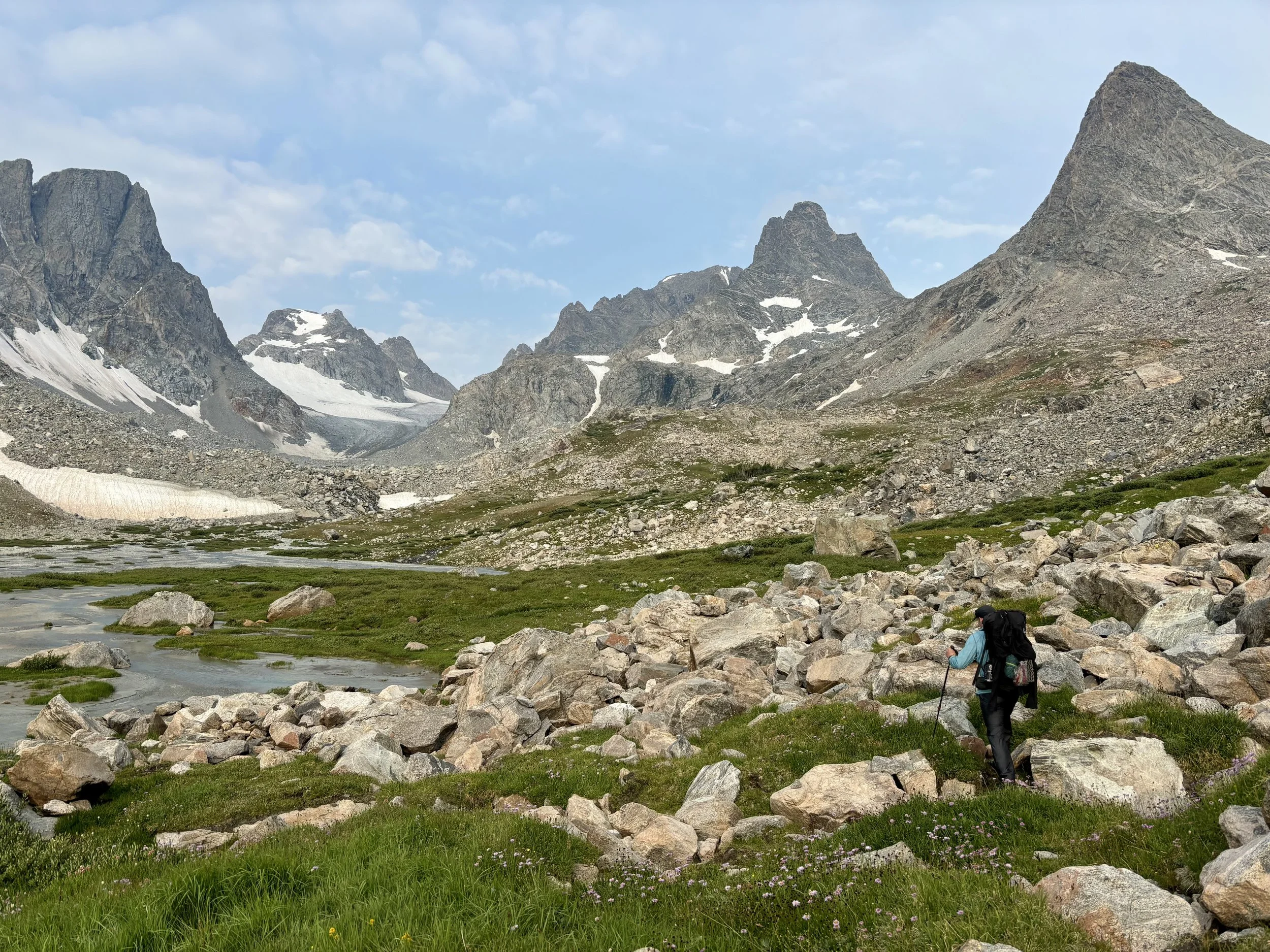
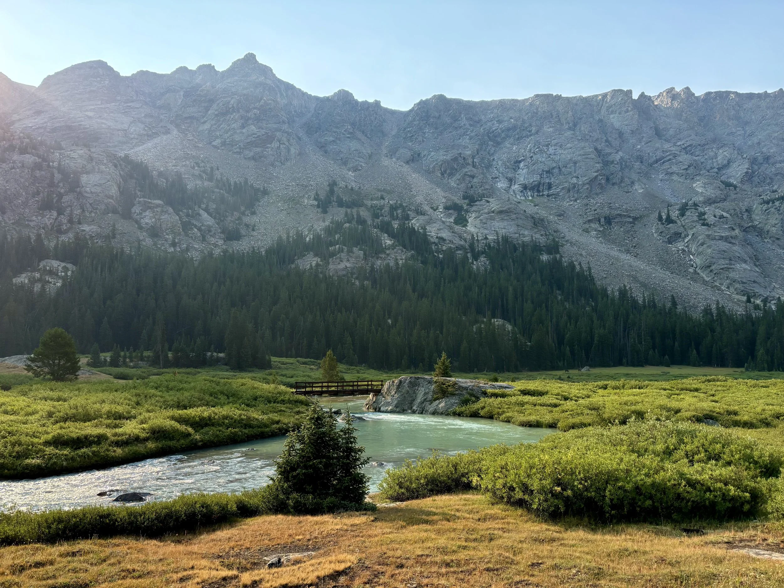
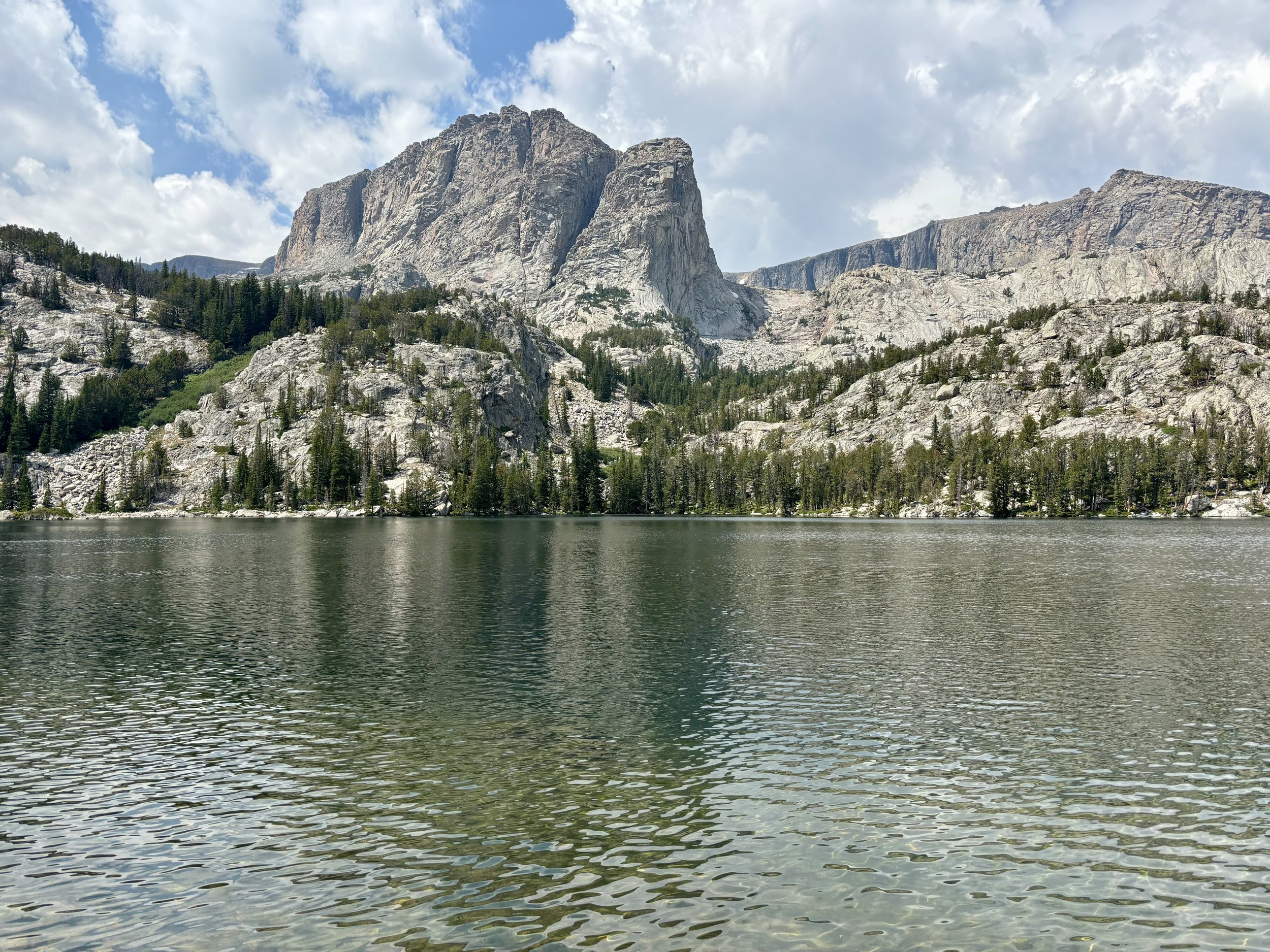
Wanting to have another day where we put in some long miles, we woke up early and got back on the trail. Shortly after starting out, we had to ford across the North Popo Agie River, whose water was quite cold, and it really woke us up. We continued along the trail and as we approached Lizard Head Meadow, we saw a familiar sight: Pingora Peak. Several summers ago, Mike and I along with a friend backpacked through this area and had been on this part of the trail before. What was new was when we came to Lonesome Lake and turned up to take Texas Pass. There is no official trail over Texas Pass, but the trail that we found over the pass was more obvious than some of the maintained trails we encountered this trip. I really enjoyed the views from the top of the pass, but we didn’t linger long since we were trying to keep moving. As we passed Shadow Lake and ultimately came to the next trail intersection with Hailey Pass Trail, we once again had a few miles on a trail we had already hiked. We were only on it for a short time though, until we cut off-trail by Skull Lake. We started navigating through a forest towards the East Fork River. After some time, we finally hit the river and continued to follow it up towards East Park Lakes. At this point, we were getting pretty tired and started looking for a campsite. With limited camping options, we ended up camping next to East Fork Lake #5, which had no shelter from the wind. And of course it was very windy that night.
Day 2 Stats: 17.2 miles, 3500 ft of elevation gain.
Day 3
With the wind making for a poor night’s sleep the night before, we woke up pretty tired, but forced ourselves out of bed to start the day. Having so many miles still in front of us was a good motivator to keep us moving. As soon as I put my shoes on that day, my left heel started hurting with each step I took. Not a good sign. I hoped after warming up the pain I felt would go away, but that didn’t end up being the case. Nonetheless, we continued on our journey and headed up and over Raid Pass, taking Skurka’s class 3 route down to Bonneville Lakes. After taking a quick snack break and filtering some water at the lake, we continued around the opposite end of the lake towards Sentry Peak Pass. At the top of the pass we could see Photo Pass over 4 miles away, a pass we hoped to also make it over that day. We descended down from Sentry Peak Pass and my heel started hurting even more on the loose and uneven talus we had to descend. As we approached Lee Lake, we found ourselves in endless willows until we made it to the lake shore. As we approached Middle Fork Lake, my heel had had enough and I sat down to take a break and re-evaluate our plan. Would I be able to continue with all of the off-trail walking required after Photo Pass to Europe Peak to Golden Lakes and beyond? I couldn’t say yes. So we decided to change the plan. We decided to take the Middle Fork Lake Trail out towards the Continental Divide Trail (CDT) and see how my heel felt walking on a real trail. After half untying my shoe (I ended up leaving it this way for the remainder of the trip), my heel wasn’t hurting as bad on the flat trail we were on. We figured this was a good sign. We camped that night near the intersection with the CDT and decided we would figure out the rest of our plan in the morning based upon how my heel was feeling. Jumping into the Middle Fork River that night gave us a much needed mental boost and sent us to bed feeling clean. I slept well that night after the mental and physical stress of the day caught up to me.
Day 3 Stats: 12.2 miles, 1800 ft of elevation gain.
Day 4
I woke up the next morning feeling a lot better and my heel didn’t seem to be any worse. So we decided we would continue our journey of walking back towards the car, but we would continue to take a different route than the high route. We figured it’d be best for my heel to spend the day all on-trail so we headed north on the CDT. I think we saw fewer people on the CDT than we saw on the High Route, which isn’t what I was expecting. This section of trail was rolling, passing numerous lakes, and had a few stream crossings. My heel hit it’s limit for the day at 14 miles (which was 14 more than I thought might happen) so we set up camp at that point and enjoyed dinner while watching the sunset. The mood was improving and we were hopeful about how I’d feel the next day.
Day 4 Stats: 13.9 miles, 3200 ft of elevation gain.
Day 5
We woke up early on day 5, hoping we would be able to hike a few more miles than the day before as we were starting to get cognizant of our amount of food left relative to our distance from the car. We set out from camp around sunrise and continued our unplanned journey along the CDT. We started our day going over a small pass and then descended into the Bald Mountain Basin. The sunrise was quite memorable that morning. We then had a surprise stream crossing of Pole Creek, which was something I wasn’t really in the mood to do - get my feet and legs wet at 7am in freezing cold water. But, we had no choice so off came the shoes and across the stream we went. We enjoyed a quick snack on the shore of Peter Lake. We then kept moving, up and over Lester Pass, and came to the intersection of the Indian Basin Trail. We bid farewell to the CDT and I thanked it for providing some relief for my heel. After only seeing a few people that morning, we found the crowd on this trail with countless people camping at Island Lake and countless others headed towards Titcomb Basin. This portion of trail was quite pretty, but I’m not sure it should be high on your list if you’re looking for solitude.
The trail turned right before we hit Titcomb Basin and the crowds thinned out as we started gaining elevation as we headed towards Indian Pass. The views and wildflowers in this section of trail were beautiful and were just the thing I needed to stay motivated to keep going. The trail towards the top of Indian Pass felt nonexistent at times, but then it would reappear and so we didn’t have any issue navigating ourselves to the top of the pass.
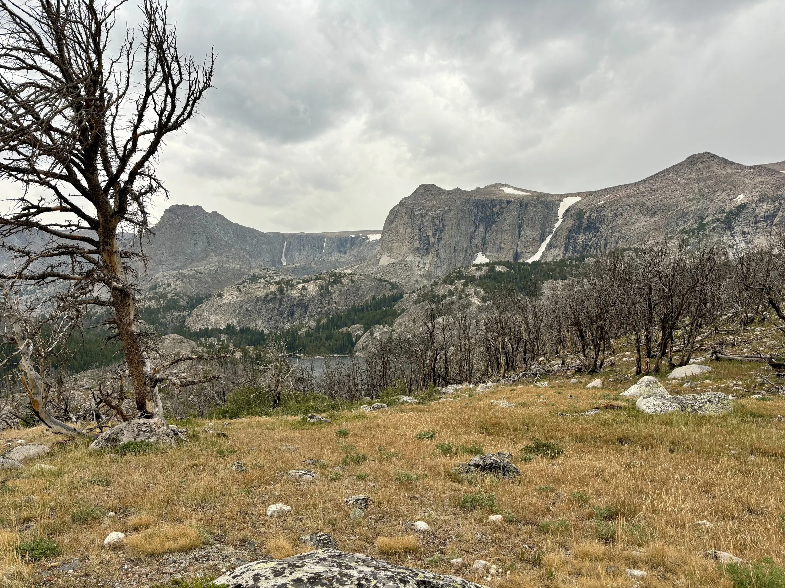
On the east side of the pass, there was no trail, and we were met with loose scree and dirt as well as glacier snow. We were looking to link back up with Skurka’s High Route at this point so we headed straight down the basin and found ourselves on the edge of Knife Point Glacier. We put on crampons and decided to head across the glacier so that we could take the recommended gully down to a tributary of North Fork Bull Lake Creek. With it being later in the day at this point (around 5pm), the “creek” was a raging river as the glacier had all afternoon to melt. Having been forced into crossing a steam first thing that morning, I did not want to put myself in that position again the next day (although that happened anyway!). So, we found a spot where it seemed possible to cross and started making our way across the river. That was the coldest water I’ve ever waded. Everything from my knees down was burning within 30 seconds, causing me to take the tactic of taking a few steps and then hopping on a rock that was out of the water in an attempt to warm up. No warming up happened, but the burning would subside and then I’d get back in the river and take a few more steps until I found the next rock, and eventually, the other side of the river. I took a second here to look around. It was probably one of the prettiest places I’ve been and also one of the most remote - we were probably 30 miles (with many of those off-trail) from the closest trailhead. At this point, my energy levels and heel said it was time to stop so we found a campsite at the base of the pass we would go over in the morning. We fell asleep to the sounds of the river - one of my favorite sounds to fall asleep to.
Day 5 Stats: 16.8 miles, 3750 ft of elevation gain.
Day 6
We started before sunrise again on day 6 as we would be going over Blaurock Pass that day, which was a steep off-trail pass that we knew we didn’t want to encounter a storm on. According to our Garmin inReach, there was a good chance of storms that afternoon. We got to experience another pretty sunrise that morning. We headed up and over the small pass and soon found ourselves on the shore of North Fork Bull Lake Creek with yet another stream crossing awaiting us. This river was similar in size to the tributary we crossed the night before. What I dislike about crossing glacial rivers is the amount of silt in them, which makes it very difficult to figure out how deep a river is in spots because you can’t see the bottom. I decided to cross the river at a point where the water was moving quickly, but it seemed like nothing would be deeper than my lower thigh. Mike thought it would be easier to cross farther upstream where the water was slower, but the bottom couldn’t be seen. So we decided to divide and conquer with our different crossings. I’m happy to say that my crossing went as expected and didn’t get wet much above my knees. Mike on the other hand, was fine crossing at his spot until the sand/mud bottom became mostly mud, and I saw him being swallowed by the mud up to his hips. He eventually made it to the other side, but his pants were completely wet and covered in mud. After washing his pants out, he unfortunately had to hike in his rain shell pants for the next two hours while his pants dried.
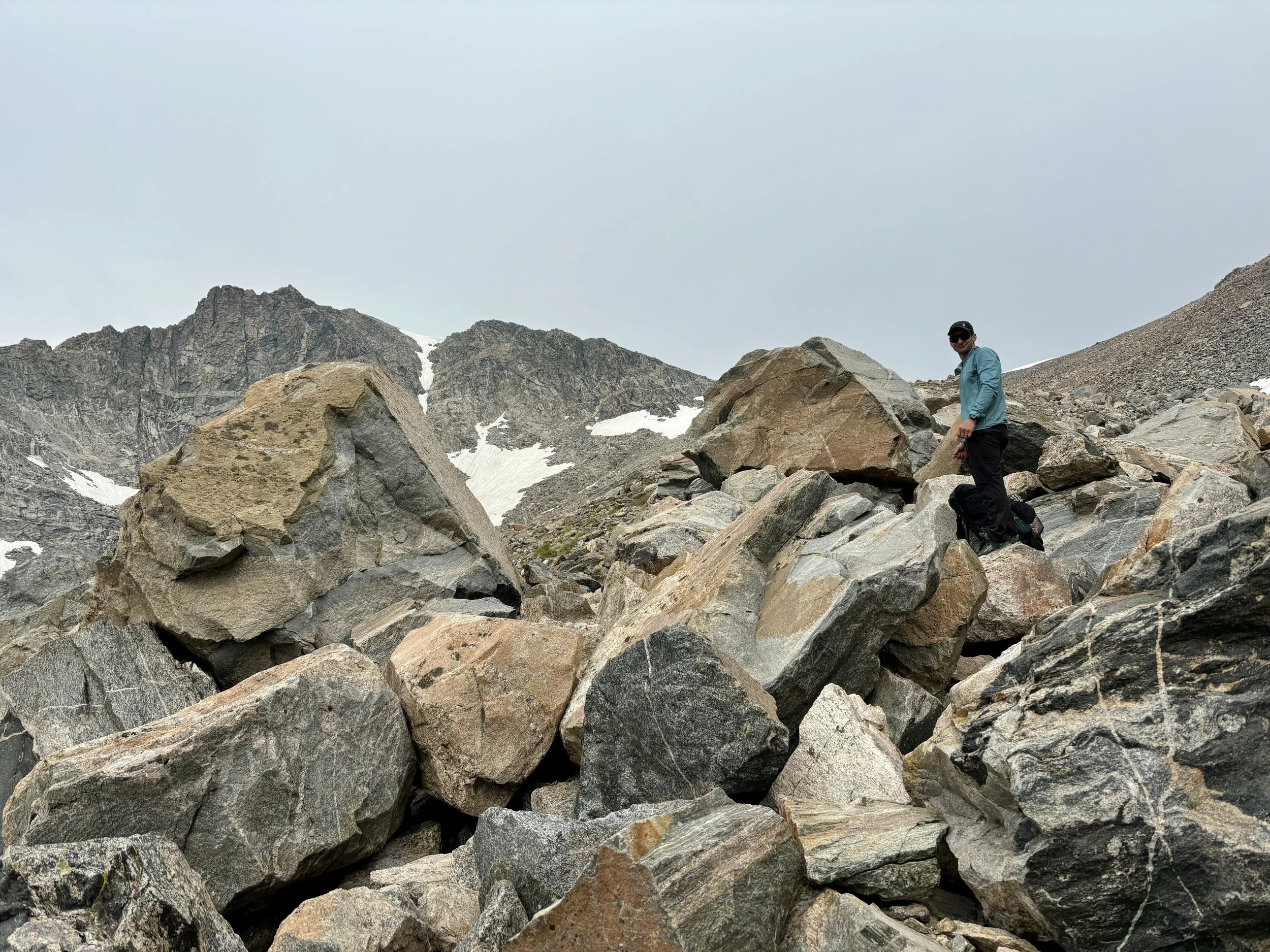
We headed over to the base of Blaurock Pass, where I had some of my favorite views of the trip. We started up the pass, which was a mix of steep alpine tundra and rocks for the bottom half. Halfway up, it changed to large boulders where you could hear running water underneath you. The most difficult part of getting up the pass was around the middle section, where we scrambled up a steep 100-200 ft section of boulders. Once we got to the top of that, we found a social trail that led us to the top of the pass.
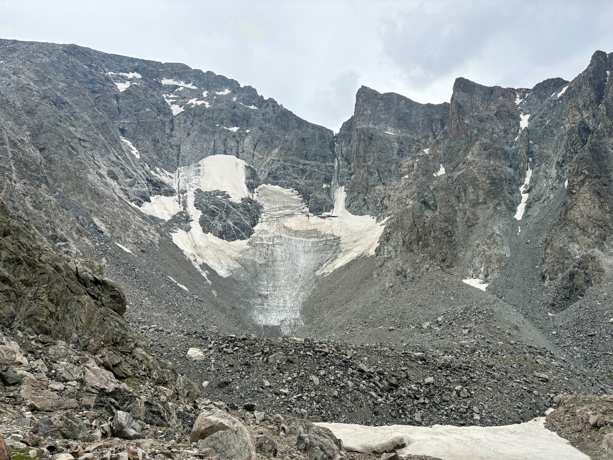
As we approached the top of the pass, it started snowing and the clouds looked extremely dark and ominous in the direction we were going. We didn’t even need to say it out loud, but stopping for a snack break wasn’t happening. I stopped for about 10 seconds to take a few pictures of Gannett Peak and then we were back on our way. The other side of the pass was very steep at the top, but also had a social trail that made navigating it much easier. We continued down as quickly as we could, crossing some small snowfields, while experiencing a variety of different forms of precipitation - snow, hail, and rain. Once we got down to the tundra, I thought the views of Heap Steep Glacier were pretty neat.
As we approached Dinwoody Creek, we had a decision to make. We could either continue along the High Route, which would involve a very long, exposed day the following day, or we could cross the creek and hop onto Glacier Trail and take trails back to the car. We updated the weather forecast on the inReach and it showed a 50% chance of precipitation the following afternoon. With that forecast, plus a heel that was still hurting, we decided taking Glacier Trail was the smart thing to do. I was definitely bummed that we wouldn’t see a part of the High Route that I was really looking forward to, but without the ability to change the weather, we’ll just have to come back another time to experience that part of the range.
Dinwoody Creek was about the same size as the last two stream crossings so we once again took off our shoes, and picked a way across that we hoped wouldn’t sweep us off our feet or turn into a mud pit. Once on the other side, I felt like I could finally relax. All that remained was ~25 miles of hiking on trails to get back to the car, which seemed like it was going to be a walk in the park after the last 6 days and the navigation and route finding that was required. So off we went down Glacier Trail. We ran into two other backpackers on the trail that recommended crossing the next creek right where the trail end. They said it looks scary, but it’s better than anything upstream or downstream. My relaxing feeling was quite short-lived. As we approached Gannett Creek, I was certain that it was not crossable where the backpackers recommended. It was moving very quickly, and we couldn’t see the bottom. Mike volunteered to go first, and he made it across much more easily than I expected. Yay! Finally something that went our way. I was able to follow without falling into the stream either, and we then continued on our way. After several miles of hiking along Wilson Meadows, it started pouring. We kept hiking and the rain stopped, but we could continue to hear thunder overhead. I decided we didn’t need to push our luck and had us set up camp around 4:30 pm that day, the earliest we had stopped to set up camp on the whole trip. It was really nice to have a little time to sit and relax before having to make dinner - I had forgotten that relaxing was a thing some people do on backpacking trips! It did downpour with some thunder and lightning for a while, so I was happy with our decision. We headed to bed early that night, wondering if we’d be able to hike the 20 miles it was back to the car the following day or if we’d split it up.
Day 6 Stats: 12.1 miles, 3200 ft of elevation gain.
Day 7
Since we only needed to hike a little over 20 miles in 2 days, we didn’t set a morning alarm, and it was really nice sleeping in a little and eating breakfast in the daylight. After breakfast, we hopped back on the trail and after a few miles, found ourselves starting to ascend towards Burro Flat, passing some pretty lakes along the way. As we got to Phillips Lake, we could see some approaching weather and dark clouds. So we updated the forecast on our inReach. There was a 50-70% chance of precipitation for the remainder of the day. We were hoping to make it over Burro Flat that day though. So we decided we would start heading up towards the wide open, exposed flat and try our luck. Well, just as we got to tree line, it started hailing. We were able to hang out under a small tree, one of the last ones before a few miles of wide open meadow. After about 20 minutes of hail, thunder and lightning also came into the picture and the hail turned to rain. With no end in sight, we decided to huddle under our tent fly that we just draped over us as we sat under the tree. This ended up being a good move because I think we sat there like that for over an hour. Once the storm seemed like it was ending, we peeked out from under the fly and decided to make a break for it. It looked like there was some more weather coming, but we thought we’d be able to make it across Burro Flat in that time and figure out somewhere else to hunker down on the other side of the pass.
Once we got back into tree line, we decided to set up camp for the night. If we tried to make it back to the van that night, we’d be hiking in the dark and then get back to a van with no food and likely no restaurants open nearby. So we enjoyed another night in our tent. Finding a spot for our tent was surprisingly challenging in the area we were looking at because of the amount of moose droppings that were everywhere. It was hard to find a spot without any, and we ended up hiking a little farther on the trail in hopes of finding a spot that didn’t involve camping in poop. Shortly after setting up our tent, it did start raining again so we were happy we stopped.
Day 7 Stats: 15.4 miles, 2200 ft of elevation gain.
Day 8
We slept in again as we knew it was all downhill to the car and would be a very short day compared to almost every other day on the trip. After eating breakfast, we got back on the trail and just an hour and a half later, we were back at the van. I think it was the most excited I’ve ever been for a backpacking trip to end (normally I don’t want them to end). My feet and mind were ready from a break of the stress of the previous 8 days. We headed to the closest pizza joint and got told “we were ordering a lot of food for two people.” I think we finished most of it.
Day 8 Stats: 6 miles, 150 ft of elevation gain.
Final thoughts:
Overall, this was the hardest backpacking trip I have done. The heel injury I developed turned out to be a bursa in my heel near my achilles tendon. That injury made the trip feel more like a survival adventure than one we could truly enjoy because there was always the question of what would our plan be if we needed to evacuate before getting back to the car. How would we get from a trailhead on the west side of the range to our car that was at at trailhead on the far northeast side of the range, at least a 3-4 hour drive away? All of that said, I’m proud that we pushed through and figured it out. Mike gets a special shout out because he carried some of the weight that would have gone in my pack for 6 days. I think that really helped my heel.
Injuries aside, it was one of the prettiest trips I have done. I missed some parts of the High Route that I know I would have enjoyed, but I’ll have to come back for those on another trip. With all of that said, I will say that with how much mileage we knew we needed to cover each day so that we wouldn’t run out of food, it did make the experience a little more stressful than I would have liked and made it difficult to ever feel like I could sit in one spot and just take in the views. We hiked until sunset most nights and then would collapse in bed. This all made it an adventure I’ll never forget.
Would I try the WRHR again? I honestly don’t know. I’d probably give myself at least 9 days to do it if I tried. Our situation also opened my eyes to realizing how far you are from the car at really any point in the trip and that getting out and back to the car early would be an adventure within itself. What I do know is that I’ll certainly be back to the Winds. Focusing on a remote part of the range with a lazier itinerary sounds really nice right now.
Total Stats: 110.1 miles, 21,100 ft of elevation gain.
Disclaimer: This website uses affiliate links, meaning: at no additional cost to you, I earn a small commission if you click-through and make a purchase. As an Amazon Associate I earn from qualifying purchases. I only feature products that I believe in and use myself. Your support means the world to me and allows me to host this website. Thank you!
Gear List
Wind River High Route Information: Andrew Skurka’s WRHR
Additional Guide Book I Used: Beyond Trails in The Wind River Mountains of Wyoming by Nancy Pallister
Map: Wind River Range [Map Pack Bundle]
Compass: SUUNTO M-3 Compass
Emergency Communication Device: Garmin inReach Mini 2 *requires a subscription
First Aid Kit: Adventure Medical Kit *I have added items to this kit and would recommend tailoring a medical kit to your needs
Lighter: BIC Lighter
Emergency Blanket: SOL Emergency Blanket
Shell/Rain Jacket: REI Co-op XeroDry GTX Jacket
Headlamp: Black Diamond Equipment Spot
Multi Tool: Leatherman Squirt PS4 Multi Tool
Tent: Big Agnes Tiger Wall Platinum
Tent Footprint: Big Agnes Accessory Footprint for Tiger Wall UL
Backpack: Hyperlite Mountain Gear Junction 55
Water Filter: Sawyer Squeeze Water Filtration System
Stove: MSR PocketRocket 2 Ultralight Stove
Fuel: Jetboil Jetpower Fuel
Kettle: MSR Titan Ultralight Titanium Backpacking Kettle
Water Bottle: Platypus DuoLock SoftBottle Flexible Water Bottle
Spork: Sea to Summit Alpha Light Long Spork
WAG bags for human waste: Cleanwaste WAG bags
Sleeping Pad: Sea to Summit Ether Light XT
Pillow: Sea to Summit Aeros Premium Inflatable Travel Pillow
Sleeping Bag: Western Mountaineering Ultralite 20 Degree Sleeping Bag
Shirt: Patagonia Capilene Cool Daily Hoodie
Pants: Black Diamond Womens Alpine Light Pants
Socks: Darn Tough Hiker Micro Crew Midweight Sock with Cushion
Underwear: Smartwool Intraknit Hipster Bikini
Sunglasses: Smith Lowdown Slim 2
Toothbrush: GUM Travel Toothbrush
Toothpaste: SuperBee Dentos Toothpaste Tablets
Hairbrush: Folding Hairbrush
Body Wipes: Pampers Sensitive Water Based Hypoallergenic and Unscented Baby Wipes
Trekking Poles: REI Co-op Flash Carbon Compact Trekking Poles
Camp shoes: Xero Shoes Women’s Z-trail Ev
Mug/cup: GSI Outdoors Infinity Backpacker Mug
Towel: REI Co-op Multi Towel Mini
Power Bank: Nitecore NB10000 Gen II Ultra-Slim Power Bank
Packing Cubes: Eagle Creek Packing Cubes
Chair: Helinox Chair Zero Ultralight Compact Camping Chair
Mosquito Head Net: Sea to Summit Ultra-Mesh Mosquito Head Net
Knife: LEATHERMAN Skeletool KBX Pocket Multitool with Knife and Bottle Opener


