Rurec Glacier Hike, Huascaran National Park, Cordillera Blanca, Huaraz, Peru

After a ton of planning and travel, Mike and I had finally made it to Huaraz, Peru where we were going to acclimate for a few days before starting the Cordillera Huayhuash Circuit. We wanted one of our acclimatization hikes to be more off the beaten path than the popular hikes all the trekking companies try to get you to do. We were looking for something quiet, where we wouldn’t see many people.
We were staying at Akilpo Home, which also has a trekking agency. After speaking with Benji, we decided we would do what they called the Rurec Glacier hike with a private guide and driver. We got picked up at our hotel at 5am on a Thursday morning and drove 1.5 hours to the start of the hike. This hike entered Huascaran National Park, which requires entrance fees (we paid these through the trekking agency we used). We parked at an elevation of 13,300 feet and began hiking. The hike starts off pretty easy, following a dirt road at valley bottom that very slowly gains elevation. We walked along a pretty stream for the first several miles and made some friends with the local cows. The views were fantastic, with the sun rising up over the glaciated mountain in the distance named Huantsan, a peak that tops out close to 21,000 ft.
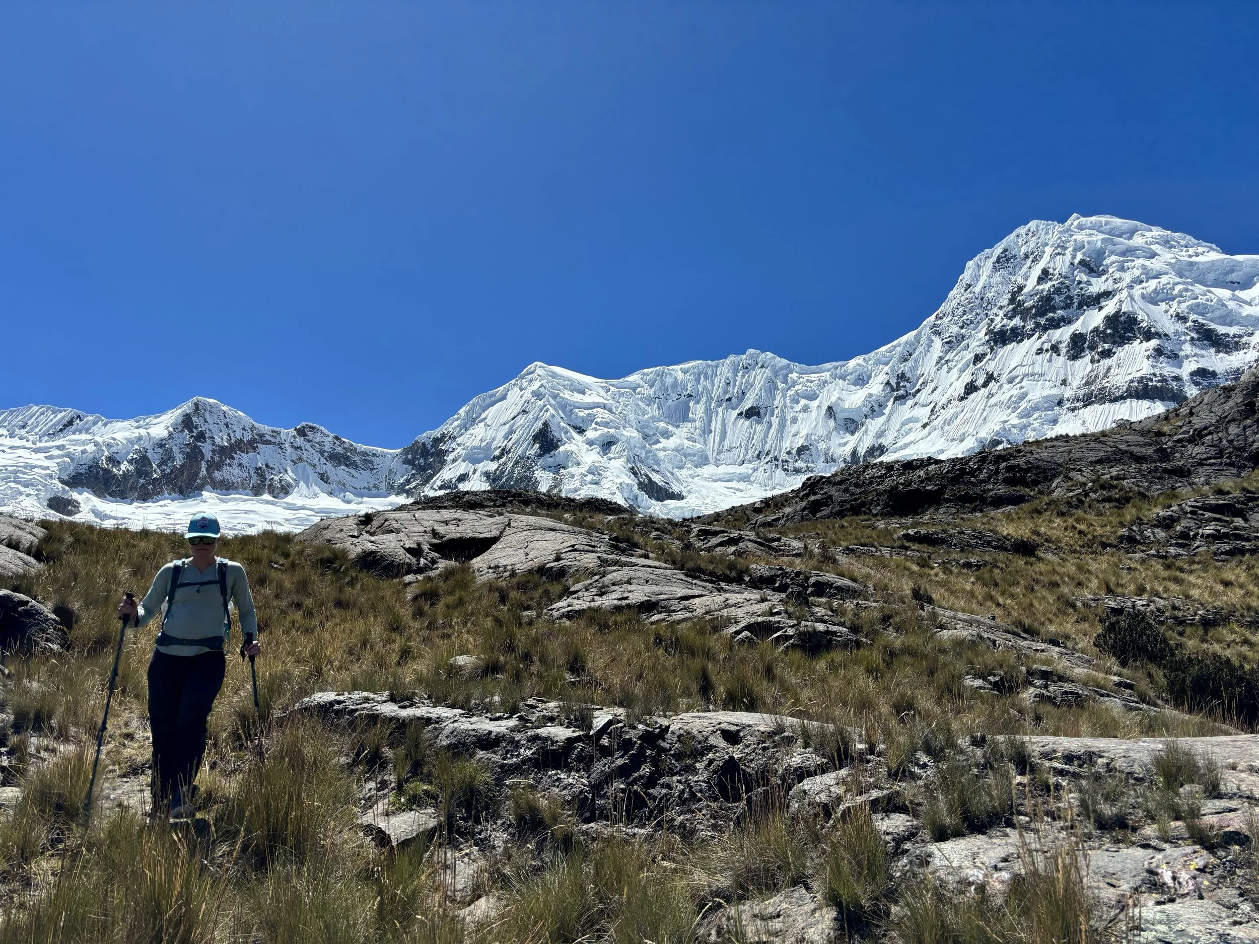
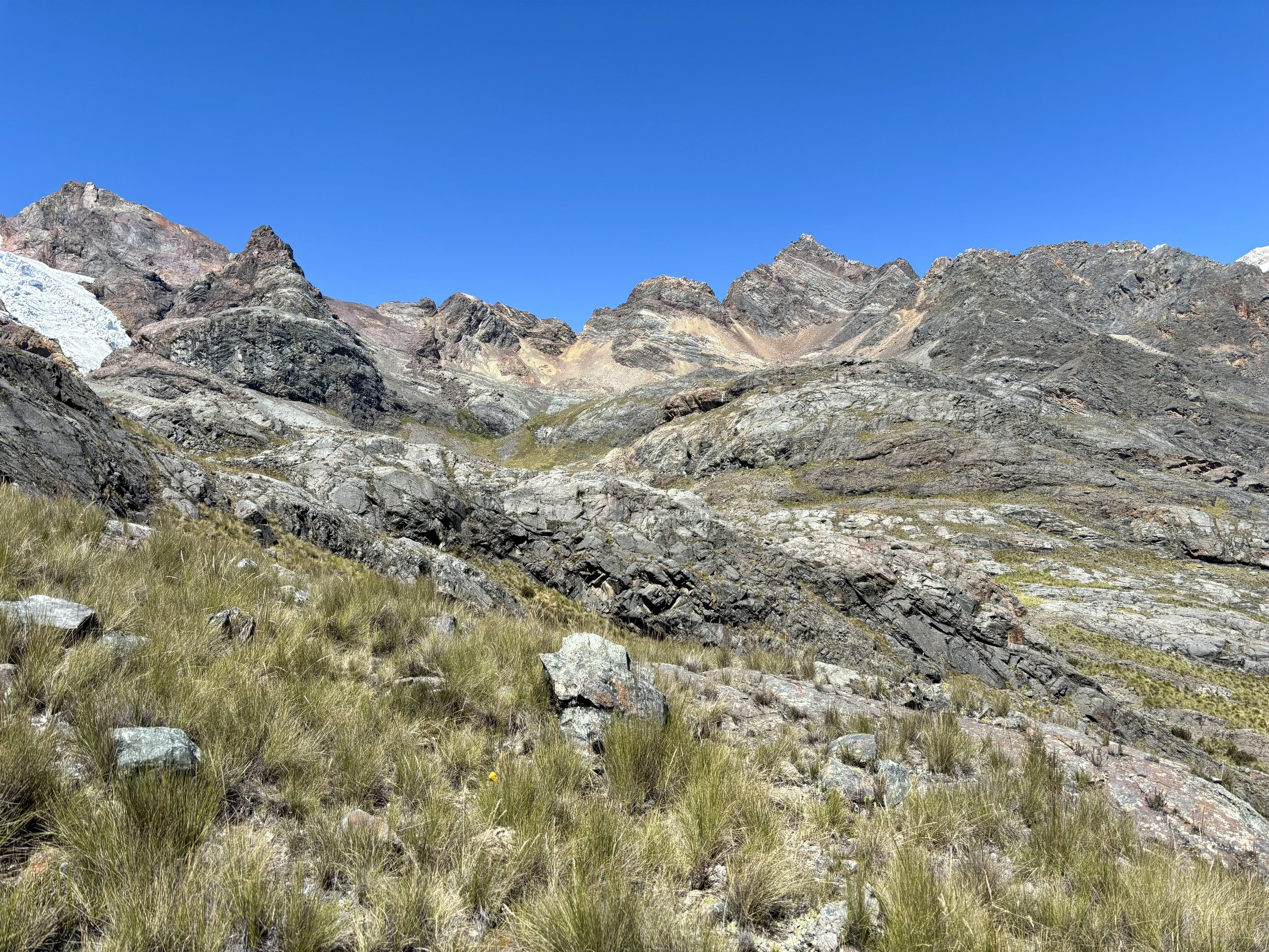
At the 4 mile mark, we turned off the road and started the part of the hike that felt more off-trail. We were really happy we had a guide for this part as I’m not sure we would have confidently figured out this part of the hike on our own. We contoured around the lake towards its east side, where we started quickly gaining elevation. The views of the lake were beautiful, but I wasn’t able to give it too much attention because the hiking had become quite steep and paying attention to foot placement was paramount.
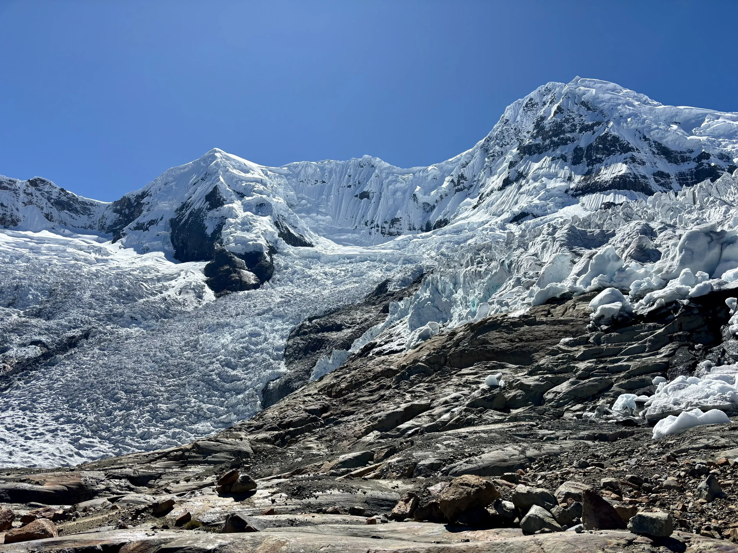
As we ascended, we came up to a beautiful waterfall where we took a break. Our elevation at this point was approaching 15,000 ft, the highest I’d ever been, and I noticed that it was definitely becoming more difficult to breath and that my pace was slowing down. We continued to follow the guide and thankfully the slope started to mellow out a bit as we approached the bottom of the glacier. At around the 5.5 mile mark, we hit 15,600 ft and found the bottom of the glacier. This was our lunch spot and turnaround point.


It was definitely one of the prettiest spots where I have eaten lunch. As we sat there and stared up at Huantsan, we saw multiple avalanches occur as the day warmed. It was really neat to watch. This mountain is frequently called the “K2 of the Andes” and I can see why - there is no obvious route to the top and the chances of getting caught in an avalanche seem pretty high during the warmer hours of the day. I believe this mountain has only been climbed a handful of times.
After eating and giving ourselves some time to digest, we decided to start heading back to the trailhead. I was eager to get back to a lower elevation as my heart rate remained pretty high, even just while sitting at 15,600 ft. We took a slightly different route back down to the dirt road that was less steep (but didn’t pass the waterfall). While it was less steep, it was still quite steep, with only some cow trails to follow, so my knees were happy when we made it back to the flat road. Once there, we made good time getting back to the car, although I found myself turning around quite a bit to look back at Huantsan! We saw only a handful of people the whole day.
Overall, I loved this hike. It provided beautiful views and there was no one around. It got us up to 15,600 ft which I think was a good elevation to hit before doing the Cordillera Huayhuash Circuit. If you are looking for an off the beaten path acclimatization hike while in Huaraz and have the funds to pay for a driver and guide, I’d highly recommend considering this hike.
Stats: 11.1 miles, 2200 ft of elevation gain