Skiing Snoopy’s Backside Couloir, The Citadel, Bakersville, Colorado

I was interested in skiing a northeast facing couloir off of the Citadel this spring, locally called Snoopy’s Backside. The weather and snow conditions looked like they were lining up so Mike and I, along with a friend named Kat, decided to go ski it one morning in May. We parked at the Herman Gulch Trailhead around 6:30 am and started up the Herman Gulch Trail. The first 0.6 miles of the trail were snow-free so we just hiked those, but we were thankfully able to put our skis on after that point.
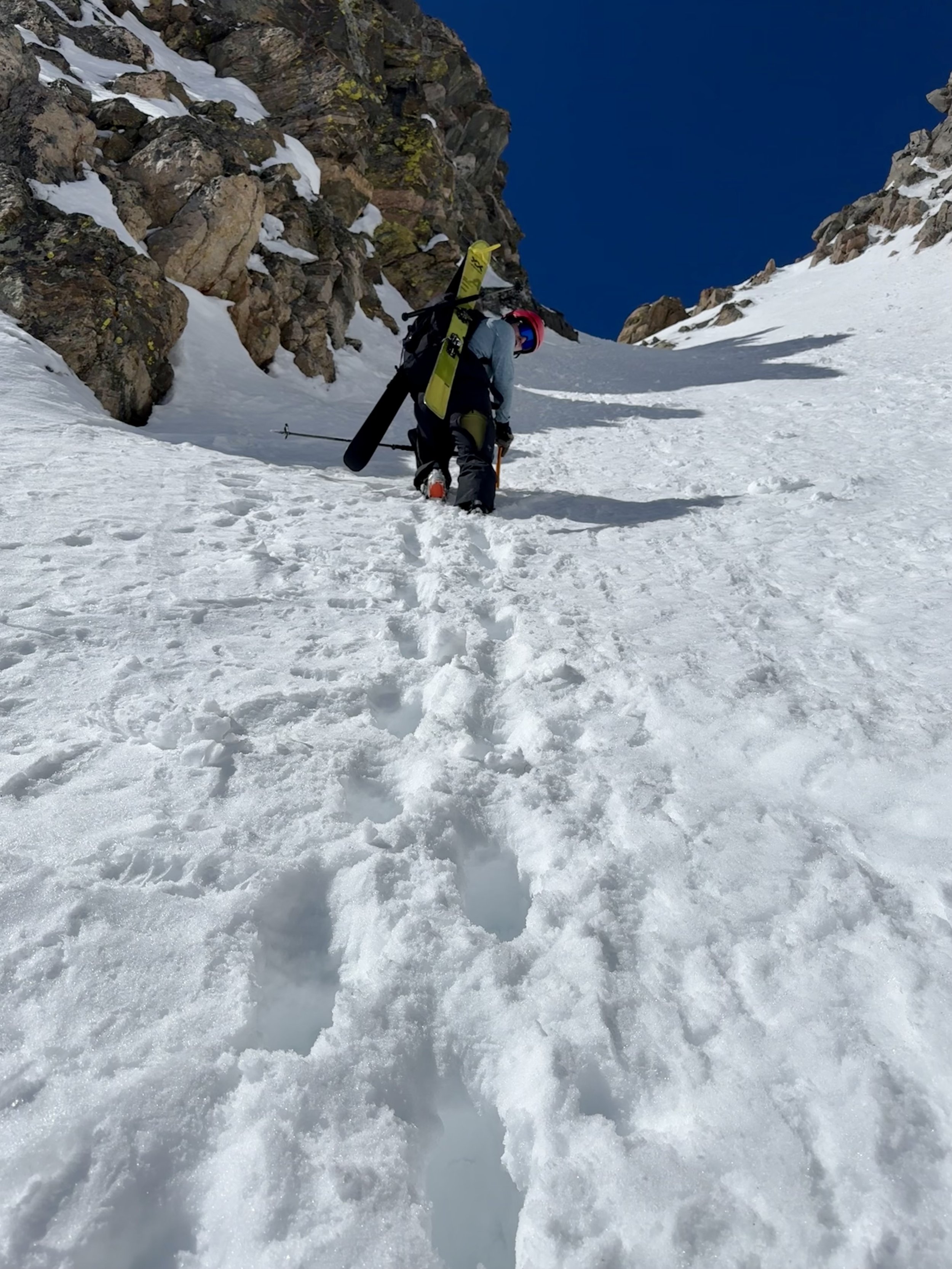
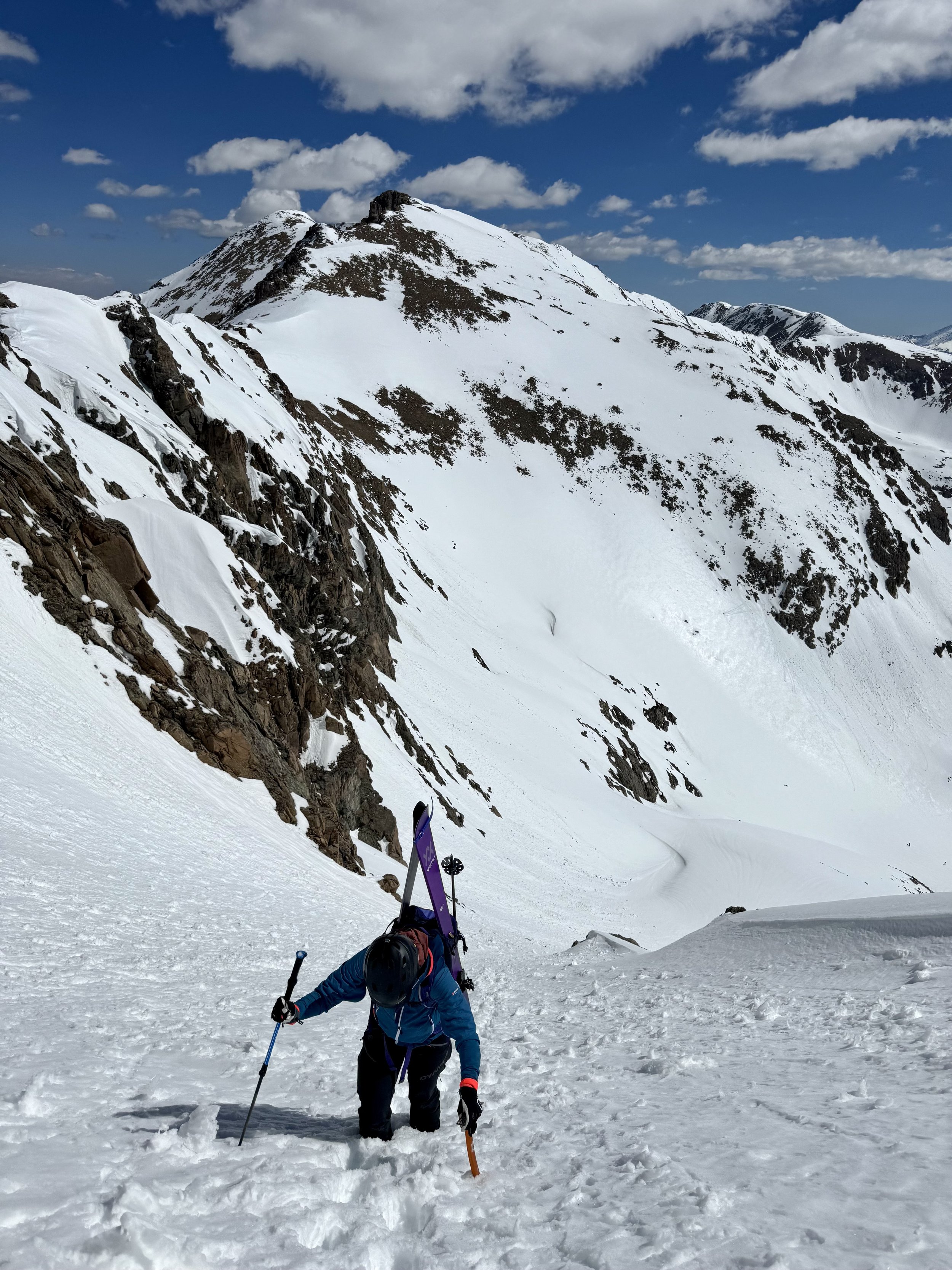
The approach for this line felt longer than I had anticipated. We skinned up the bottom of the valley until we got to the base of the couloir, which was about 3.75 miles in. At this point, we decided we’d transition and put on boot crampons so we could boot up the couloir. After strapping our skis to the back of our packs, we started heading up the couloir with Mike leading the way.


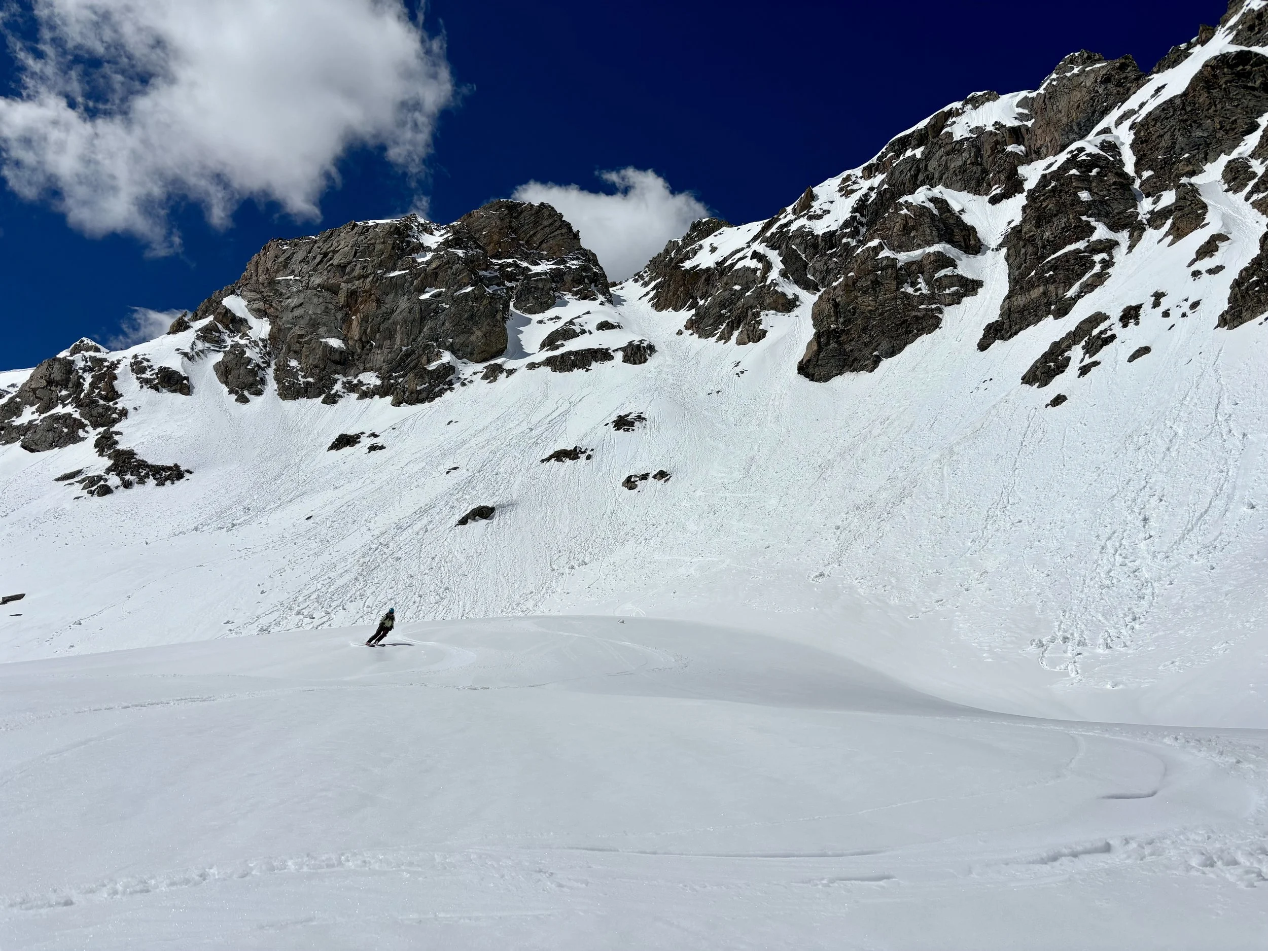
While the approach felt longer than I thought it would, the couloir felt shorter. Before I knew it, we were at the top of the line. Things were already warming up quite a bit so we decided we shouldn’t hang out for too long. After transitioning again, we headed down the couloir one at a time with Mike once again in the lead.
We regrouped halfway down before Mike started skiing the second half of the line. Shortly after he started skiing, some snow started shedding from below the cliffs near me and Kat so we decided to speed things up and headed down after Mike. We regrouped again at the bottom of the line without any further incidents.
From here, there wasn’t much skiing left to do as it was a pretty flat valley bottom back down to the snow line, but we were thankful we didn’t have to put skins back on. When we hit the snow line, we hiked the 0.6 miles on the summer trail back to the trailhead. Overall, it was a great day and a fun line to ski. My only knock on this line is that the approach is pretty long relative to the length of the couloir. I’d like to ski some other lines off the Citadel in the future.
Stats: 8.3 miles, 2800 ft of elevation gain